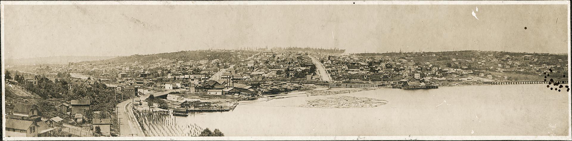
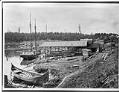
Seattle's Fremont neighborhood started out as cluster of small industries on the north shore of Lake Union. This north-facing view of Fremont appears to have been taken from the eastern slope of Queen Anne Hill.
The bridge at the bottom left of the frame is probably a spur of the Seattle, Lake Shore, and Eastern Railway, built in 1888 across the stream that leads west to Salmon Bay (widened in 1917 into the Lake Washington Ship Canal) and then followed the north shore of Lake Union to Lake Washington. In 1978 this section of the railroad's route became part of the Burke-Gilman Trail.
SHS category: Views - Districts
Caption information source: "Seattle Neighborhoods: Fremont, Thumbnail History," by Patrick McRoberts, HistoryLink.org Essay 1320
ID Number: SHS10120
Date: Circa 1894
Physical Description: 1 photographic print mounted on cardboard: b&w ; 2 x 8.5 in.
Additional Information: Digital copy of this item available thanks to funding from a 2016 Institute for Museum and Library Services grant. Metadata updated as part of a grant from the Institute of Museum and Library Services administered by the Library Services and Technology Act, through the Washington State Library, a division of the Office of the Secretary of State.