Back to Results
PI27875
View full size image or right-click on image to save
Photograph
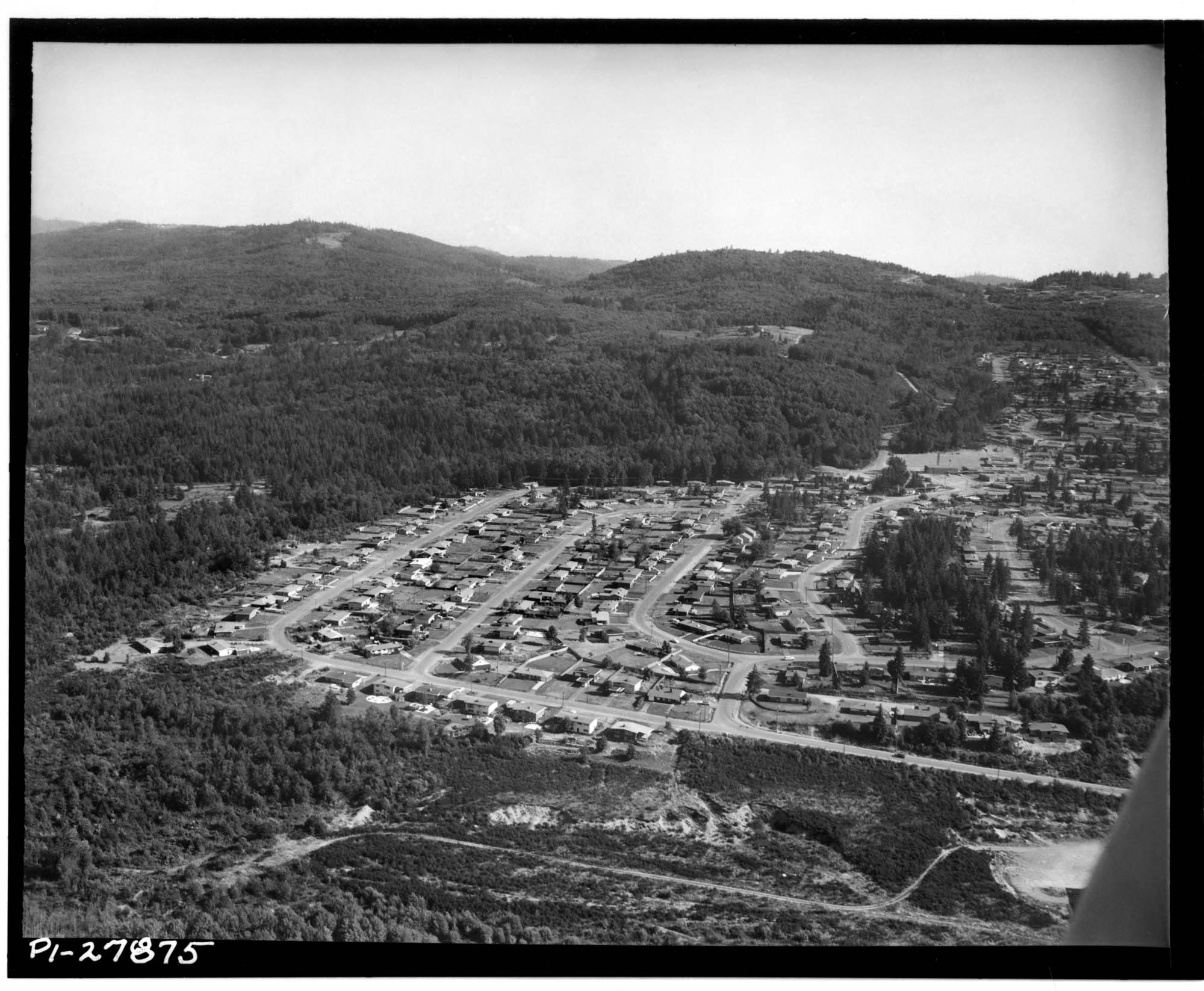
Aerial of Eastgate looking south, 1959
Order an ImageIn the 1950s, several housing developments were built for families moving to the east side of Lake Washington. Eastgate is located just south of Interstate 90, which was known as the Sunset Highway when this photo was taken.
Title from original inventory (incorrect identification of Eastlake as Lake Hills): Aerial view of Lake Hills residential district, with Lake Sammamish in distance, Lake Hills
Handwritten on sleeve: Seattle - airviews (Lake Hills homes).
Date photograph was filed at the Seattle Post-Intelligencer (date of photograph and file date may differ by a month or more): July 21, 1959.
Title from original inventory (incorrect identification of Eastlake as Lake Hills): Aerial view of Lake Hills residential district, with Lake Sammamish in distance, Lake Hills
Handwritten on sleeve: Seattle - airviews (Lake Hills homes).
Date photograph was filed at the Seattle Post-Intelligencer (date of photograph and file date may differ by a month or more): July 21, 1959.
ID Number: PI27875
Date: 1959
Physical Description: 1 negative : b&w ; 4 x 5 in.
Credit: MOHAI, Seattle Post-Intelligencer Collection, PI27875
Copyright: All Rights Reserved
Subjects:
Homes and Housing
Other matching results
Demolition for Yesler Terrace housing project, October 7, 1940
Houses being demolished for Yesler Terrace housing project, Seattle, 1940
Yesler Terrace housing project, Seattle, 1941

Children on slide at Yesler Terrace playground, Seattle, 1942

George and Mary Adams standing outside their home, Port Gamble Reservation, February 1939
Residential street in Wedgwood, September 8, 1949
Houses under construction in Bellevue, May 1946
Aerial view of Lake Hills, Bellevue, 1959
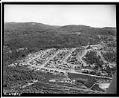
Aerial of Eastgate looking south, 1959