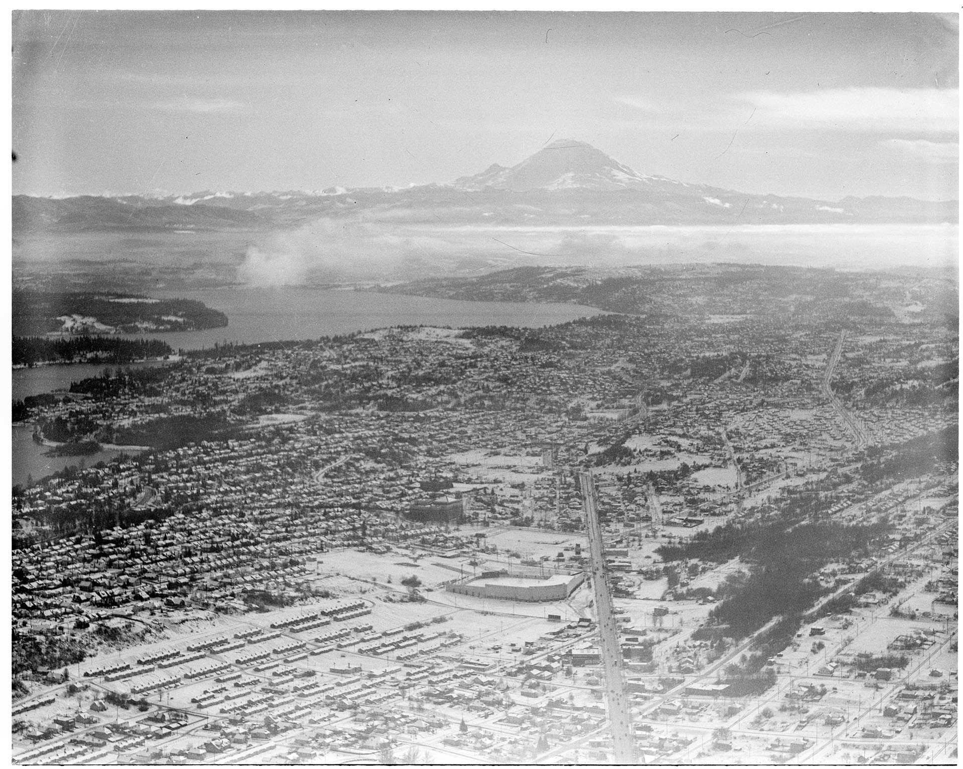
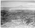
This aerial view of the Seattle's Rainier Valley was taken after two days of snow blanketed the city in late November 1946. The view looks southeast towards Mount Rainier, with Rainier Avenue South running upward from the bottom of the frame. Sick's Stadium is visible to the left of Rainier Avenue, in the lower third of the photo.
At the time this photo was taken, the wartime housing shortage was continuing. Segregation, enforced by deed restrictions and restrictive covenants, limited where Seattle's minority populations could live. Housing became a major issue for Blacks and Asians in the Central Area and the Chinatown - International District, who were unable to move in any direction except south to the Rainier Valley neighborhood shown in this photo.
Title from original inventory: Aerial vew of Rainier Valley in snow, looking south to Mt Rainier, Seattle Date photograph was filed by the Seattle Post-Intelligencer (date of photograph and file date may differ by a month or more): November 22, 1946
Caption information source: Seattle Segregation Maps, 1920-2019 by James Gregory, retrieved at https://depts.washington.edu/civilr/segregation_maps.htm Caption information source: Rainier Valley - Thumbnail History by David Wilma, HistoryLink.org Essay 3092.