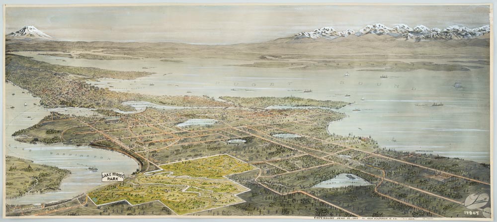
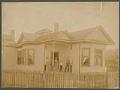
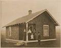
The land that is now Lake Forest Park was originally occupied by a winter village of the Snohomish tribe, which increasing white settlement displaced in the late 19th century. In 1909, property developer (and future Seattle mayor) Ole Hanson formed the North Seattle Improvement Company and began buying land at the north end of Lake Washington in order to build a new residential community, named Lake Forest Park. The town’s founders wanted to preserve the area’s natural beauty for its residents, and so laid out the roads and plots to follow the lines of hills and to protect the remaining trees. They also encouraged the construction of homes of differing sizes and architectural styles.
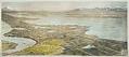
This birdseye view map was part of a promotional campaign to sell land and homes in Lake Forest Park. It looks southwest over Seattle and its surroundings, with Lake Washington on the left and Puget Sound on the right. The area of Lake Forest Park itself is outlined and highlighted, with proposed roads and streetcar lines shown. The Olympic Mountains can be seen in the upper right corner, and Mount Rainier in the upper left.
Caption information source: "Lake Forest Park - Thumbnail History," by Alan J. Stein, HistoryLink, retrieved from https://www.historylink.org/File/419.