Back to Results
a2021.71.01
View full size image or right-click on image to save
Postcard
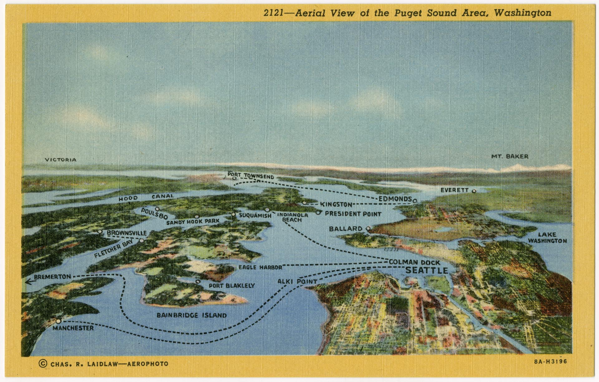
Aerial view of the Puget Sound Area postcard, circa 1938
Order an ImageThis image shows a C.T. (Curt Teich) Art-Colortone postcard which uses a colorized version of a Charles R. Laidlaw aerial photograph of the Puget Sound area, and labels points of interest and ferry routes. The ferry routes help date the postcard between 1935 and 1942. The Fletcher Bay to Brownsville ferry route (center at left) only operated between 1924 and 1942, while the Colman Dock (Seattle) to Manchester route (bottom) only ran after 1935, when the terminus dock at Alki Point washed out.
Postcard is numbered and titled "2121--Aerial View of the Puget Sound Area, Washington."
Caption information source: Historical Map: Aerial View of the Puget Sound Area, Washington, c. 1940 at https://transitmap.net/puget-sound-1940/
Postcard is numbered and titled "2121--Aerial View of the Puget Sound Area, Washington."
Caption information source: Historical Map: Aerial View of the Puget Sound Area, Washington, c. 1940 at https://transitmap.net/puget-sound-1940/
ID Number: 2021.71.1
Date: Circa 1938
Creator(s):
Laidlaw, Charles R., Photographer
Physical Description: 1 photographic postcard : colorized ; 5.5 x 3.5 in.
Credit: MOHAI, 2021.71.1
Copyright: All Rights Reserved
Other matching results
Oral history interview with Anthony (Tony) Faslow and David Green, January 15, 2009
Oral history interview with James (Jim) Francis, November 24, 2008
Oral history interview with Carl R. Meurk, July 21, 2011
Aerial view of the Puget Sound Area postcard, circa 1938
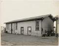
Main Shop Building, Todd Dry Docks, Inc., Seattle, circa 1920
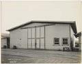
Caulkers' Oakum Loft, Todd Dry Docks, Inc., Seattle, circa 1920
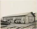
Lumber Shed, Todd Dry Docks, Inc., Seattle, circa 1920
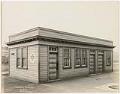
Paint Shop, Todd Dry Docks, Inc., Seattle, circa 1920
Hospital, Todd Dry Docks, Inc., Seattle, circa 1920