Back to Results
2019.3.6
View full size image or right-click on image to save
Cartographic material
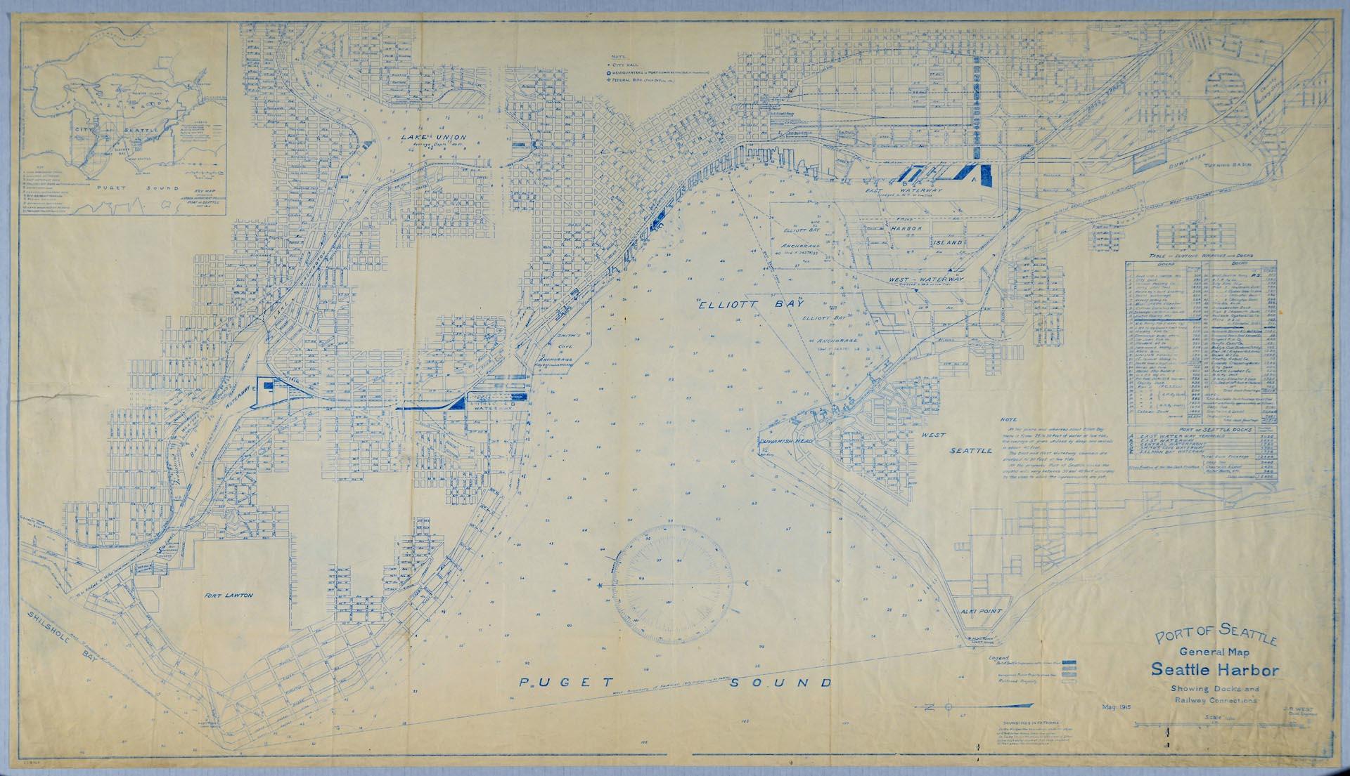
Port of Seattle General Map Seattle Harbor, May 1915
Order an ImageThe Port of Seattle commission was created by election on September 5, 1911, voted in by a wide margin. One week later on September 12, 1911, the new commissioners met for the first time and began planning and developing Seattle's first public harbor facilities, and later, a container terminal, the Seattle-Tacoma International Airport, and may other facilities that continue operating out of Seattle.
This map, from May 1915, chiefly shows railroad and dock connections and was created by J.R. West, Civil Engineer. Elliott Bay's soundings are also marked in fathoms. A table at right lists "Existing Wharves and Docks" by company name and frontage in linear feet.
Full title on map: Port of Seattle General Map Seattle Harbor Showing Docks and Railway Connections, May 1915, J.R. West, Civil Engineer
This map, from May 1915, chiefly shows railroad and dock connections and was created by J.R. West, Civil Engineer. Elliott Bay's soundings are also marked in fathoms. A table at right lists "Existing Wharves and Docks" by company name and frontage in linear feet.
Full title on map: Port of Seattle General Map Seattle Harbor Showing Docks and Railway Connections, May 1915, J.R. West, Civil Engineer
ID Number: 2019.3.6
Date: 1915
Creator(s):
Port of Seattle, Creator
Physical Description: 1 map : blueprint ; 55 x 31.5 in.
Additional Information: Digital copy of this item available thanks to funding from a 2016 Institute for Museum and Library Services grant.
Credit: MOHAI, 2019.3.6
Copyright: No Known Copyright
Subjects:
Puget Sound
Other matching results
First Grand Lottery of Washington Territory broadside, Seattle, 1876
Office personnel at Pacific Coast Cement Company, Seattle, May 19, 1955
Pacific Telephone and Telegraph Company employees, May 9, 1949
Territorial anniversary ball invitation, February 20, 1863
Members of Seattle Volunteer Fire Company No. 1, 2nd and Columbia, Seattle, 1883
Photo of map of Seattle before fire, 1889
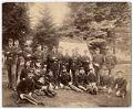
National Guard of Washington officers posing after the fire, Seattle, June 1889
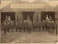
Firemen posing outside Seattle Fire Department, November 1889