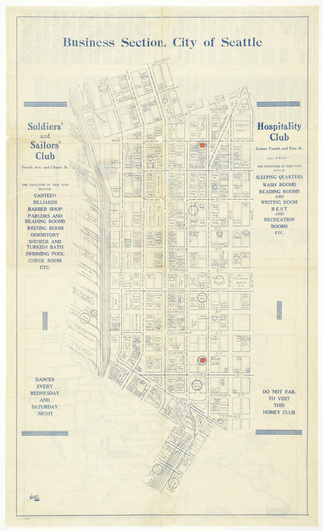
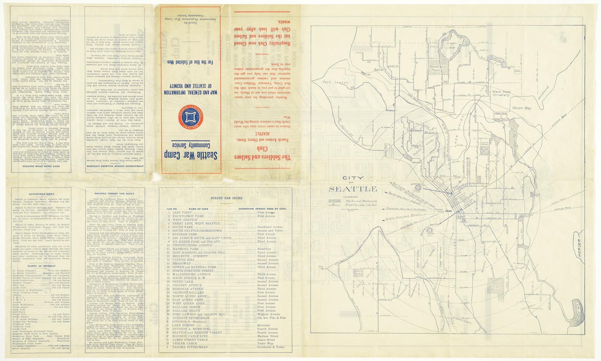
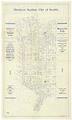
Once the United States entered World War I in 1917, numerous military personnel began to pass through Seattle. The Seattle War Camp Community Service group formed to provide support to these visiting servicemen and veterans. Among other things, they published a map of downtown Seattle that promoted the Seattle Soldiers and Sailors Club and the Hospitality Club. It noted their locations along with those of theaters, churches, the post office and other sites that might be of interest. A map of the city and appears on the back of the map along with information on street cars, boat rides, automobile trips and other activities.
The Soldiers and Sailors Club had opened in Seattle in November 1917 to provide accommodations, meals and entertainment for active military men and veterans. The former Seattle Athletic Club building at Fourth Avenue and Cherry Street was well suited for this purpose. A second location, the Hospitality Club, operated for a short time at Fourth Avenue and Pine Street. By the end of 1919, the club had served over 250,000 men and was still providing 500 meals a day in the canteen. Active servicemen and veterans could buy lunch for 40 cents and dinner for 50 cents.
Caption information source: The Seattle Daily Times: November 13, 1917, p. 3; December 28, 1919, p. 12.
ID Number: 2019.3.51
Date: 1918
Physical Description: 1 map : color ; 16.5 x 27.75 in. folded to 3.5 x 8.25 in.
Additional Information: Digital copy of this item available thanks to funding from a 2016 Institute for Museum and Library Services grant.