Captain William Rankin Ballard (1844-1929) was a Seattle pioneer, banker, and land developer. His family came to the Puget Sound area in about 1865, and William was living in Seattle by about 1870. William's father, Dr. Levi Ward Ballard (1815-1897), and step-mother, Mary Esther (Condict) Ballard (1833-1909), settled south of Seattle, where Levi is remembered for his 1886 filing of the first plat of the town of Slaughter (now Auburn, Washington). Master of the Puget Sound stern-wheeler "Zephyr," William acquired 160 acres of supposedly worthless timberland north of Seattle as payment of a business debt. His land eventually became part of the city of Ballard (incorporated in 1890, then annexed to Seattle in 1907), which William helped found.
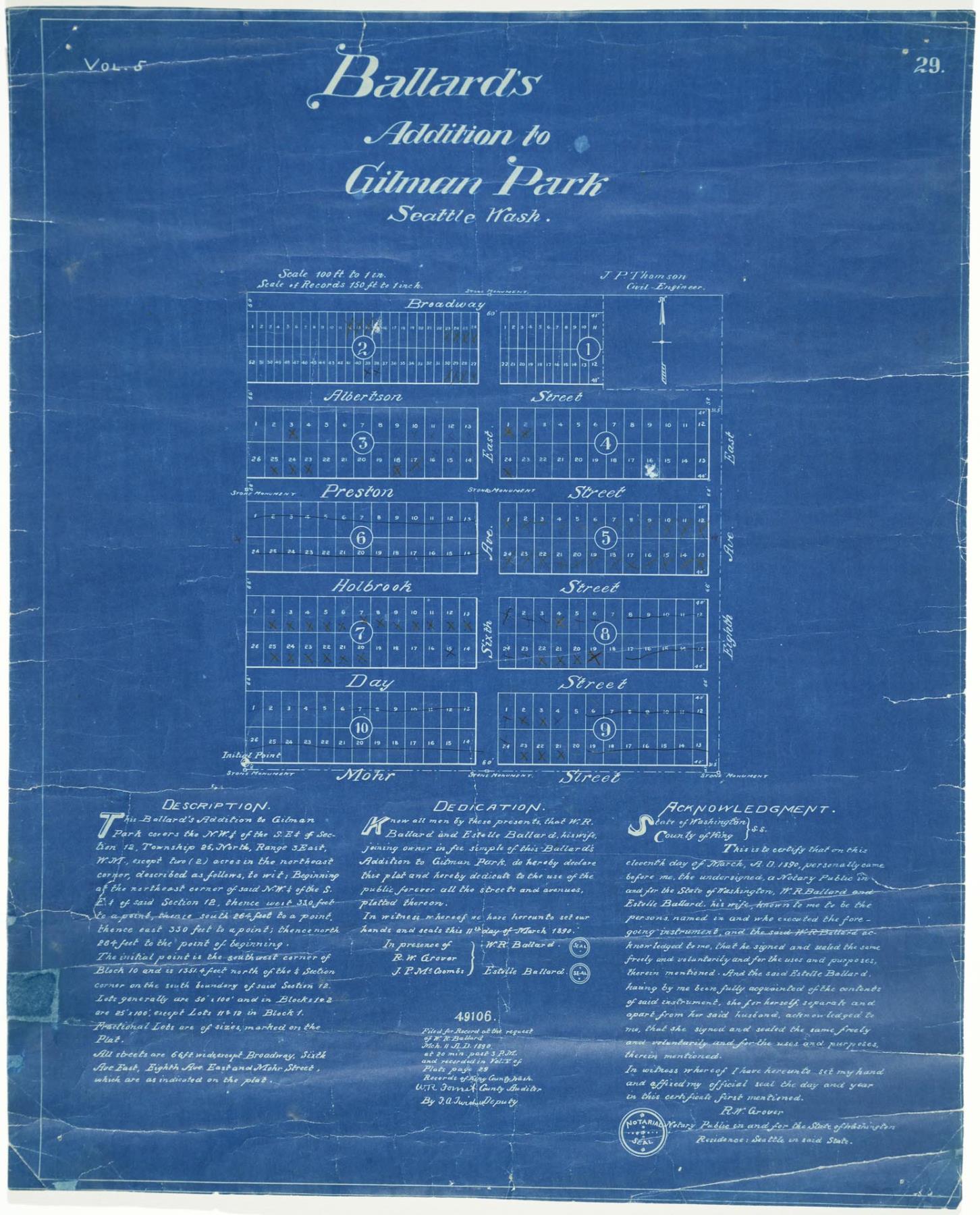
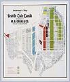
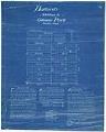
The plat map pictured here describes land owned by William Ballard and his wife, Estelle (Thorndike) Ballard (1851-1949), who filed the map for recording with the King County Auditor. The land is located east from what was then Fourth Avenue East to Eighth Avenue East, and south from Broadway (now NW Market Street) to Mohr Street (now NW 50th Street). After annexation to the City of Seattle, the majority of Ballard’s street names were changed to the numbered system. This map was drawn by civil engineerJ. P. Thomson.
Handwritten on verso: Leary. Ballard 2nd Add. Stamped on verso: O.P. Anderson & Co., Civil Engineers, Draughtsmen, and Blue Printers, [illieg.] County, State, Township, and Addition Maps, 505[illeg.]6 Butler Block, Seattle, Wash.
Caption information source: "Seattle Neighborhoods: Ballard — Thumbnail History," by Walt Crowley, HistoryLink.org Essay 983. Caption information source: Old Ballard Street Names, Searchable Table at http://ba-kground.com/old-ballard-street-names
ID Number: 2019.3.47
Date: 1890
Physical Description: 1 map : blueprint ; 17.75 x 22 in.
Additional Information: Digital copy of this item available thanks to funding from a 2016 Institute for Museum and Library Services grant.