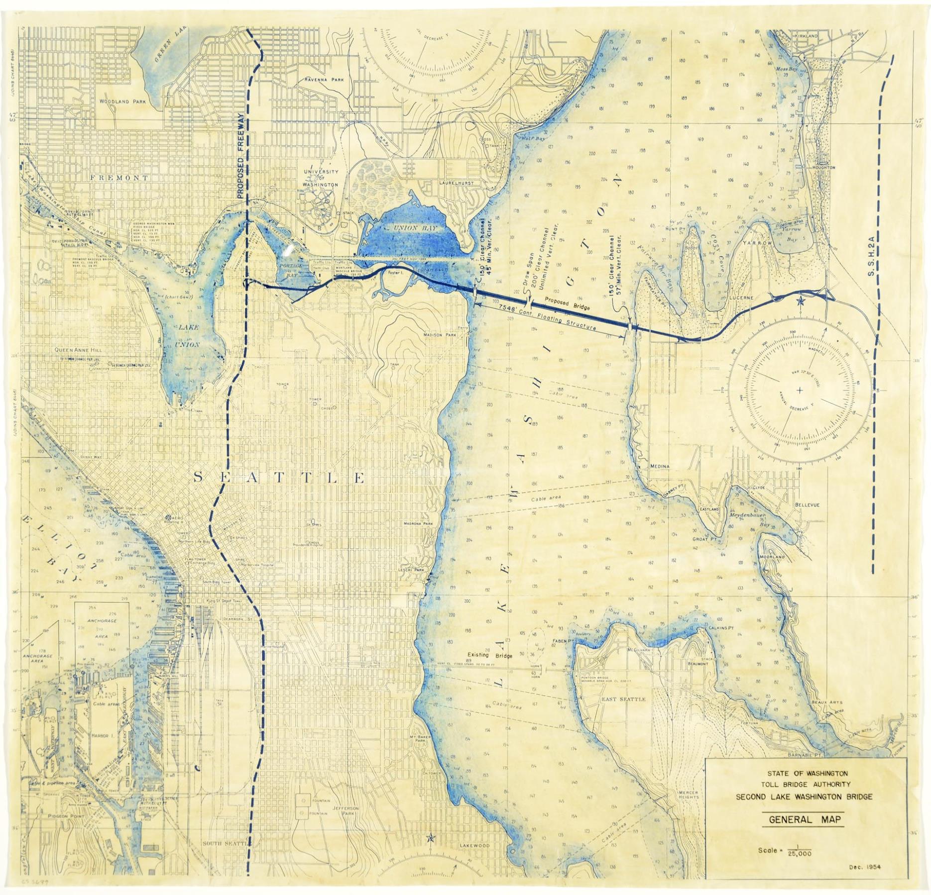
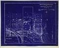
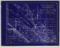
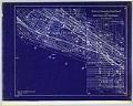
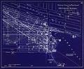
The world's first large-scale floating bridge opened for traffic on July 2, 1940. The concrete roadway from Seattle to the eastern shore of Lake Washington floated on pontoons which were anchored to the lake bottom. The bridge helped the World War II war effort by shortening the commute between Seattle's eastern suburbs and the downtown industrial area, and began suburban expansion on the eastern shore of Lake Washington. In 1953 the Washington State Legislature approved funding for a second bridge across the lake, with tolls to repay $30 million in state bonds for the construction of the bridge. The Evergreen Point Floating Bridge would officially open on August 28, 1963.
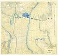
This map from the State of Washington shows the proposed bridge from Montlake to Evergreen Point over the route that would lake become State Route 520, with connection to a future freeway running north and south in Seattle.
Caption information source: "Evergreen Point Floating Bridge opens on August 28, 1963," by Phil Dougherty, HistoryLink.org Essay 690, https://www.historylink.org/File/690.
ID Number: 2019.3.43
Date: 1954
Physical Description: 1 map : color ; 22.25 x 21.75
Additional Information: Digital copy of this item available thanks to funding from a 2016 Institute for Museum and Library Services grant.