Back to Results
2019.3.29_1
2019.3.29_2
View full size image or right-click on image to save
View full size image or right-click on image to save
Cartographic material
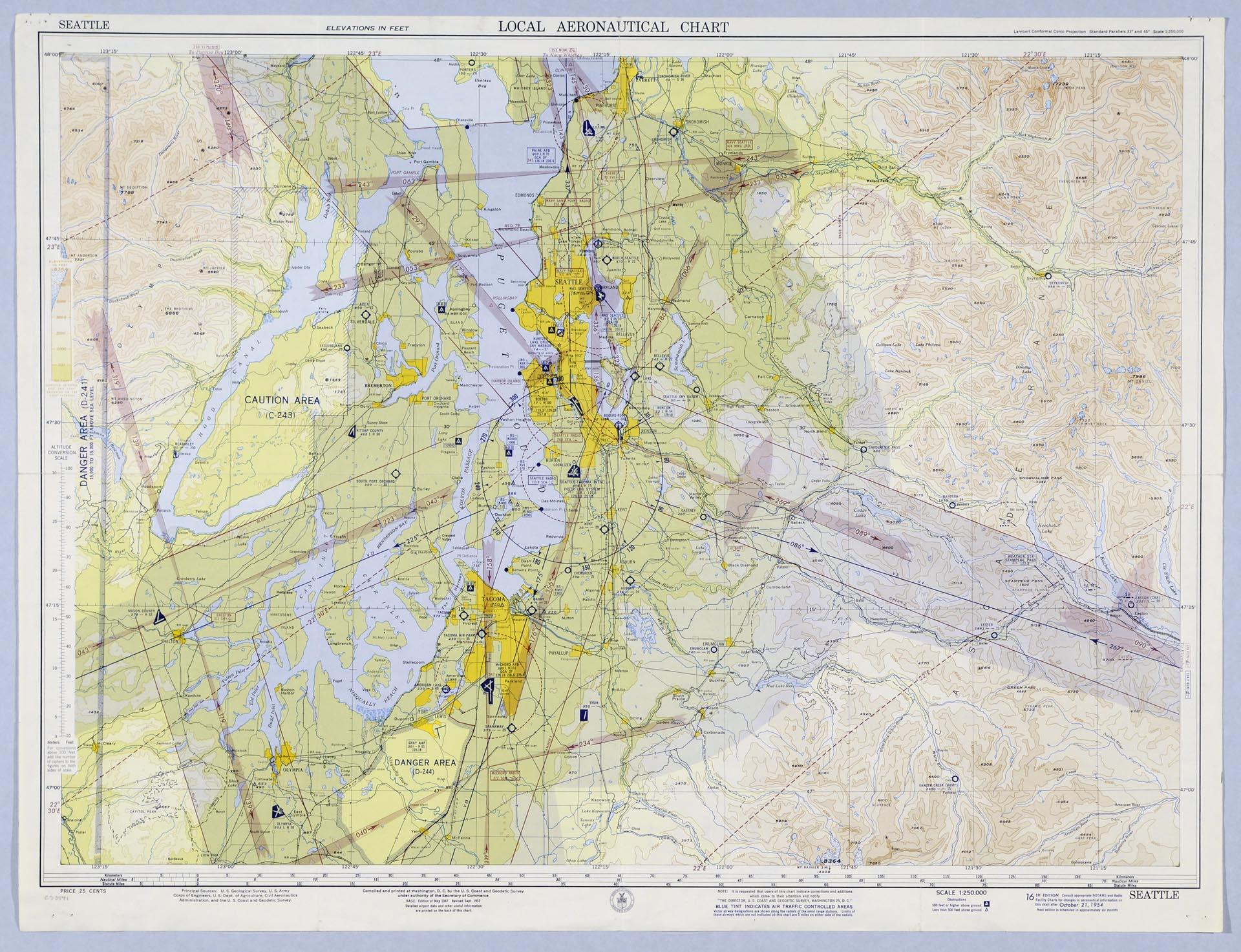
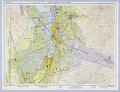
Local Aeronautical Chart, Seattle, October 21, 1954
Order an ImageUntil 1958, when the Federal Aviation Administration was founded, the United States Coast & Geodetic Survey published aeronautical charts for flight navigation. These were published in various scales to show different information and were updated every six months. The most detailed are the local charts for airports, like this one showing the area around Seattle-Tacoma International Airport. In addition to geographical features, the map shows cities, towns, and major roads; gives compass headings; and indicates by blue shading which areas are under air traffic control.
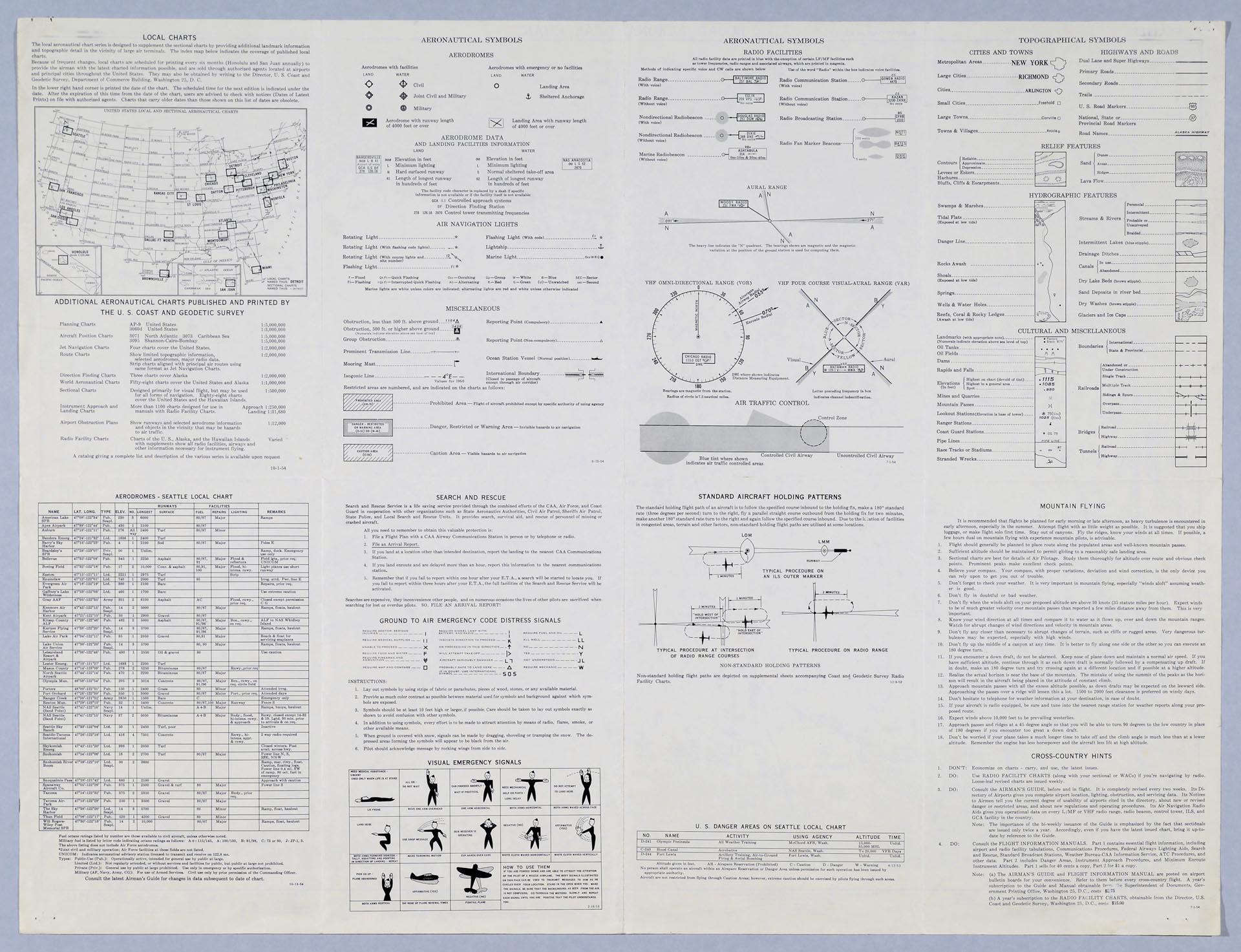
Much information appears on the back of the map, including a key to topographical and other symbols, a list of nearby airports, diagrams of standard aircraft holding patterns, military training areas to stay away from, hints on mountain flying, search and rescue and emergency information, and a map of other local charts available.
Much information appears on the back of the map, including a key to topographical and other symbols, a list of nearby airports, diagrams of standard aircraft holding patterns, military training areas to stay away from, hints on mountain flying, search and rescue and emergency information, and a map of other local charts available.
ID Number: 2019.3.29
Date: 1954
Creator(s):
U. S. Coast and Geodetic Survey, Publisher
Physical Description: 1 map : color ; 29 x 22 in.
Additional Information: Digital copy of this item available thanks to funding from a 2016 Institute for Museum and Library Services grant.
Credit: MOHAI, 2019.3.29
Copyright: All Rights Reserved
Other matching results
McKee's Correct Road Map of Seattle and Vicinity, 1894
Seattle, Washington, Postal delivery section map, circa 1950
Seattle (X-1) Sectional Aeronautical Chart, April 14, 1955
City of Seattle Harbor Department Map of Central Waterfront District, August 1916
Boston Heights Supplemental Addition to the City of Seattle, February 25, 1890
Seattle Sewerage Skeleton Map, July 1891
Local Aeronautical Chart, Seattle, October 21, 1954
Supplemental Plat of Block 27 to Bell & Denny's First Add. to the City of Seattle, November 4, 1887

Register Now! poster, Seattle, 1944