Seattle in the late nineteenth century was a rapidly growing city, aided in no small part by the 1883 connection to the rest of the country by the Northern Pacific Railway Company (NPRR). Additionally, the city's population doubled in 1890 from the previous year to 40,000, boosted by the influx of people who saw opportunity in rebuilding after Seattle's Great Fire. Expansion led to conflicts over the legal definitions of property and in what ways and by whom real estate could be utilized. NPRR was part of many lawsuits in Seattle during the period between 1895 and 1925, many of which were to establish rights-of-way and valuation of properties.
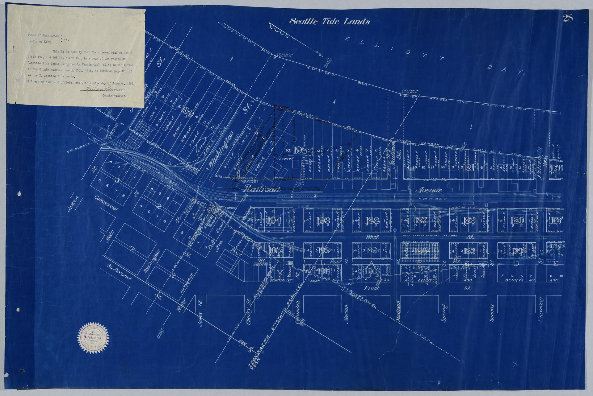
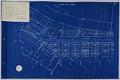
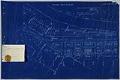
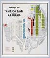
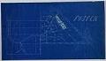
The plat map pictured here, roughly of Seattle's Pioneer Square neighborhood, was used as evidence in 1896-1897 litigation between NPRR and a member of the Denny family, probably over usage of tide lands. The map is on page 28 of a series of maps called "Volume 2 of Seattle Tide Lands," and was filed in the office of the County Auditor on March 15, 1895. As part of the litigation Nathan Beman, King County Auditor, certified this map as a copy of the original on January 4, 1896.
The map also has a seal affixed from the O. P. Anderson Map and Blue Print Company, but it is unclear if Oliver Phelps Anderson or one of his employees created the original map, or if they created this blueprint copy of the map.
Stamped and handwritten on verso: Plff's Q 23429-23430, Equity Dept., Plaintiff's Exhibit A. Filed APR 6 1897, Geo. M. Holloway, Clerk [initialed W. C.]. Appellant's E[illegible] for Iden. Equity Dept. 19507, Plaintiff's Exhibit A. Filed JAN 6 1896. L. W. Gordon, Clerk [initialed WAW].
Caption information source: NORTHERN PACIFIC RAILWAY COMPANY. LAW DEPARTMENT: An Inventory of Its Records at the Minnesota Historical Society, Manuscripts Collection, retrieved from http://www2.mnhs.org/library/findaids/01021.xml Caption information source: Klingle, M. (2007). Emerald City: An environmental history of Seattle. New Haven, CT: Yale University Press.