Back to Results
2019.3.21
View full size image or right-click on image to save
Cartographic material
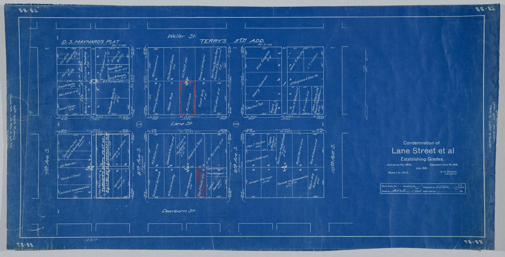
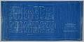
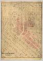
Condemnation of Lane Street et al Establishing Grades map, Seattle, July 1916
Order an ImageStarting in 1897 and continuing through 1930, the topography of central Seattle was radically altered by a series of regrades. An estimated 50 tons of earth removed from the city's hills were moved into the tide flats and other low areas, and into Elliott Bay.
In June 1916, a bill was passed for the condemnation of property for changing and establishing the grades of Lane Street from Seventh to Tenth Avenues South, and Eighth and Ninth Avenues South from Weller to Dearborn Street. The area designated for regrading is detailed on this blueprint plat map, with the names of the owners of each property indicated. The area at left is identified as "D.S. Maynard's plat" and at center and right, as "Terry's First Addition."
Handwritten on verso: Lane Street regrade
Caption information source: Seattle Daily Times, June 13,1916, P. 13.
In June 1916, a bill was passed for the condemnation of property for changing and establishing the grades of Lane Street from Seventh to Tenth Avenues South, and Eighth and Ninth Avenues South from Weller to Dearborn Street. The area designated for regrading is detailed on this blueprint plat map, with the names of the owners of each property indicated. The area at left is identified as "D.S. Maynard's plat" and at center and right, as "Terry's First Addition."
Handwritten on verso: Lane Street regrade
Caption information source: Seattle Daily Times, June 13,1916, P. 13.
ID Number: 2019.3.21
Date: 1916
Creator(s):
City of Seattle, Engineering Department, Creator
Physical Description: 1 map : blueprint ; 34 x 17 in.
Additional Information: Digital copy of this item available thanks to funding from a 2016 Institute for Museum and Library Services grant.
Credit: MOHAI, 2019.3.21
Copyright: No Known Copyright
Subjects:
Regrades
Other matching results
Alki Avenue regrade showing water cannon, with flour mill in distance, September 24, 1913
Wooden bridge near Alki Avenue regrade area, West Seattle, September 24, 1913
Alki Avenue regrade area showing new grade and bridge approach, West Seattle, September 24, 1913
Bulkhead along Alki Avenue SW, October 28, 1913
Harbor Island and Beacon Hill, Seattle, 1917
Condemnation of Lane Street et al Establishing Grades map, Seattle, July 1916
Denny Regrade District, Seattle, 1928
Puget Sound Bridge and Dredging Company office building on Dearborn Street, Seattle, April 23, 1923
Salvation Army Industrial Department on Holgate Street, Seattle, May 22, 1923