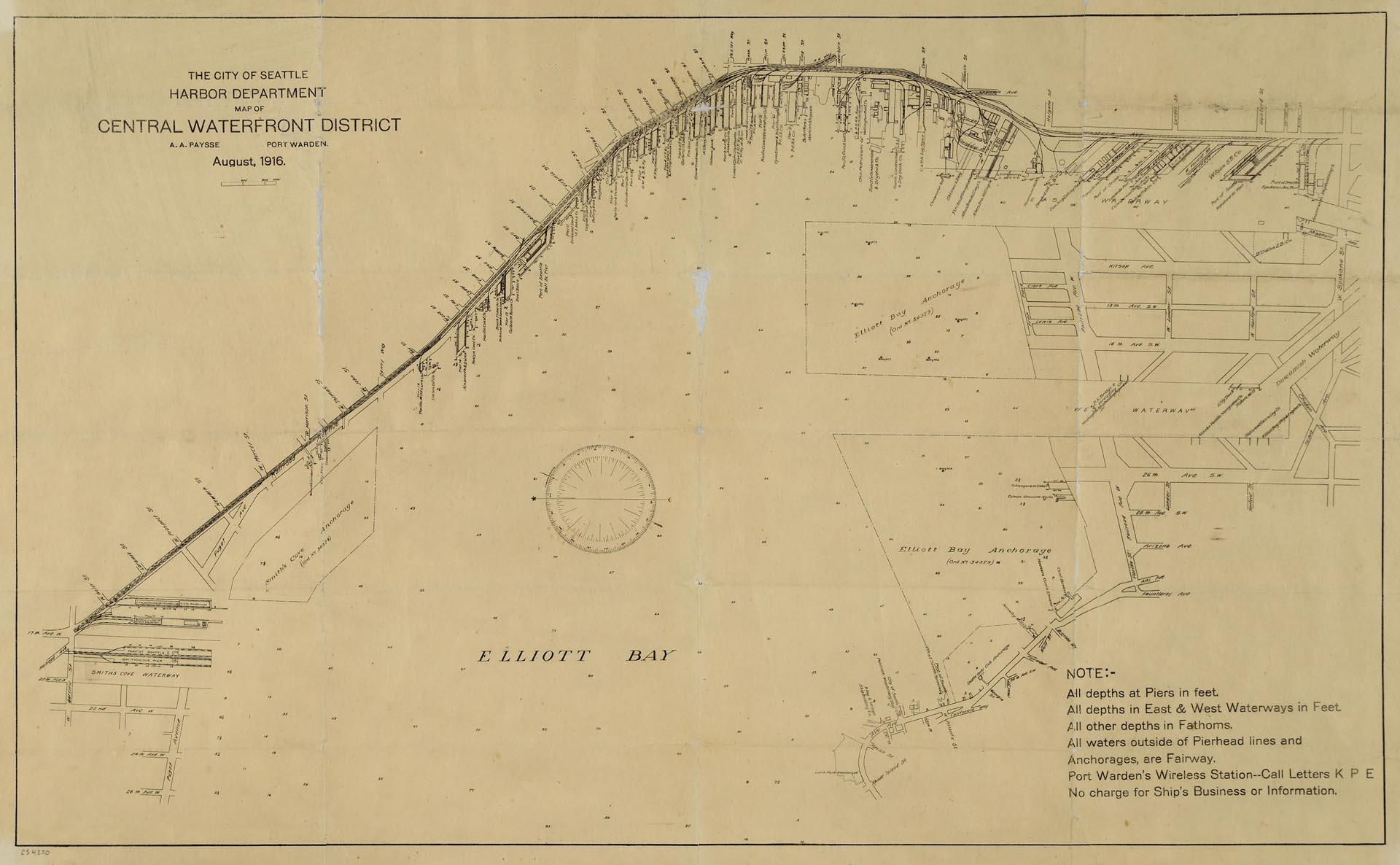
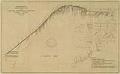
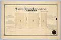
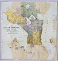
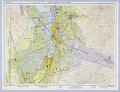
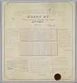
Maritime trade was crucial to the city's economic development, and Seattle continues to be defined and supported by the harbor that has become one of the busiest ports in the U. S. This 1916 map of Elliott Bay depicts wharves and businesses along the waterfront, as well as and water depths (soundings) along piers and in Elliott Bay. Each street, pier, and business along the waterfront is identified by name. The map was created by the Harbor Department under long-time port warden Captain Alexis Alexander Paysse (1875-1932), who was later head of the Electric Signal Corporation.
Text on map: The City of Seattle Harbor Department Map of Central Waterfront District, A.A. Paysse, Port Warden, August 1916. Note: All depth at piers in feet. A All depths in East & West Waterways in Feet. All other depths in fathoms. All waters outside of Pierhead lines and Anchorages, are Fairway. Port Warden's Wireless Station--Call letters K P E. No charge for Ship's Business or Information.
Caption information source: "Seattle Central Waterfront, Part 1: Overview," by Paul Dorpat and Walt Crowley, HistoryLink.org Essay 7072. Caption information source: "Captain Paysse Funeral Rites Are Held Today," The Seattle Daily Times, December 27, 1932, p. 3.