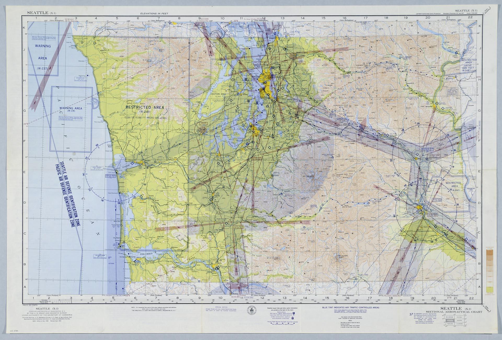
Sectional Aeronautical Charts are used by aircraft pilots for navigating with Visual Flight Rules (often noted as VFR). The charts, first published in the 1930s, show important topographical and group features, along with other information such as traffic control areas, airspace classes, radio frequencies, and navigation routes. These charts, now published by the Federal Aviation Administration, were originally produced by the U. S. Coast and Geodetic Survey, which operated from 1878-1970 and was in charge of surveys on the coast and interior.
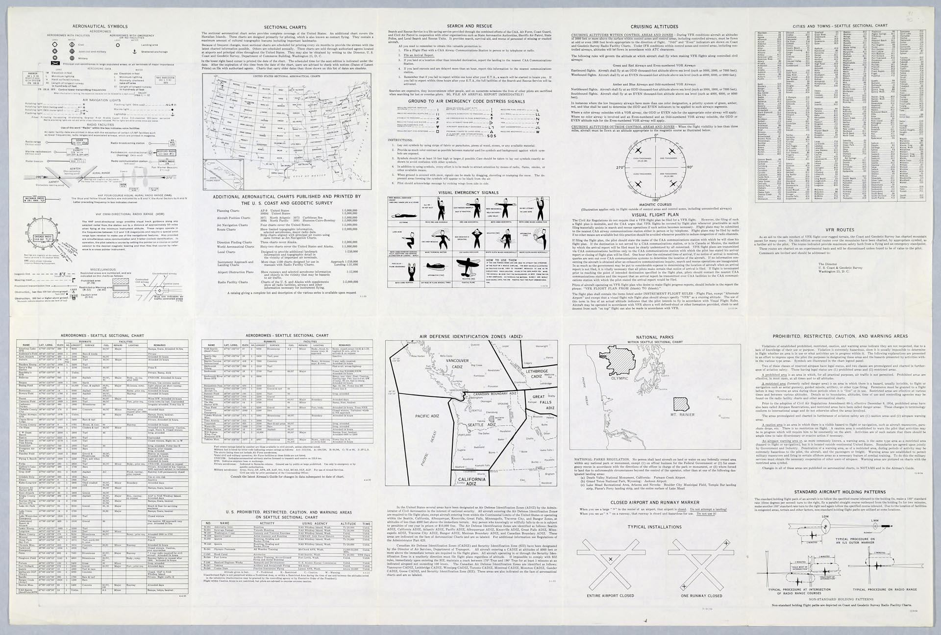
This 37th edition of the Seattle Sectional Aeronautical Chart was published on April 15, 1955. The back of the map has the legend, index to other charts, and other relevant information.
Text on map: Seattle (X-1), Compiled and Printed at Washington, D. C. by the U. S. Coast and Geodetic Survey Under Authority of the Secretary of Commerce, Principal Sources: U. S. Geological Survey, U. S. Dept. of Agriculture, Civil Aeronautics Administration and the U. S. Coast and Geodetic Survey, BASE: Edition of Dec. 1948, Revised Sept. 1954.
Sections on verso: Aeronautical Symbols; Aerodromes - Seattle Sectional Chart, Sectional Charts; Additional Aeronautical Charts Published and Printed by the U. S. Coast and Geodetic Survey; U. S. Prohibited, Restricted, Caution, and Warning Areas on Seattle Sectional Chart; Search and Rescue; Ground to Air Emergency Code Distress Signals; Visual Emergency Signals; Air Defense Identification Zones (ADIZ); Cruising Altitudes; Visual Flight Plan; National Parks within Seattle Sectional Chart; Closed Airport and Runway Marker; Cities and Towns - Seattle Sectional Chart; VFR Routes; Prohibited, Restricted, Caution, and Warning Areas; Standard Aircraft Holding Patterns.
Caption information source: "Sectional Aeronautical Chart," Federal Aviation Administration," https://www.faa.gov/air_traffic/flight_info/aeronav/productcatalog/vfrcharts/Sectional/; "History of the Aeronautical Chart Service," WWII Escape Maps, http://www.escape-maps.com/escape_maps/history_aeronautical_chart_service.htm