In 1903 Carl Albert Kroll (1882-1982) immigrated from Germany to the U. S., finding work as a drafting technician at the Moran Brothers shipbuilding company. By 1910 Kroll was the manager at O. P. Anderson Map & Blue Print Company. The following year he acquired both the Anderson Map Company and the Washington Map and Blueprint Company and merged them to form the Kroll Map Company. Kroll sold the company in 1920 to friend and employee John Loacker (1874-1964), whose grandson still runs the family business in Belltown as of 2019.
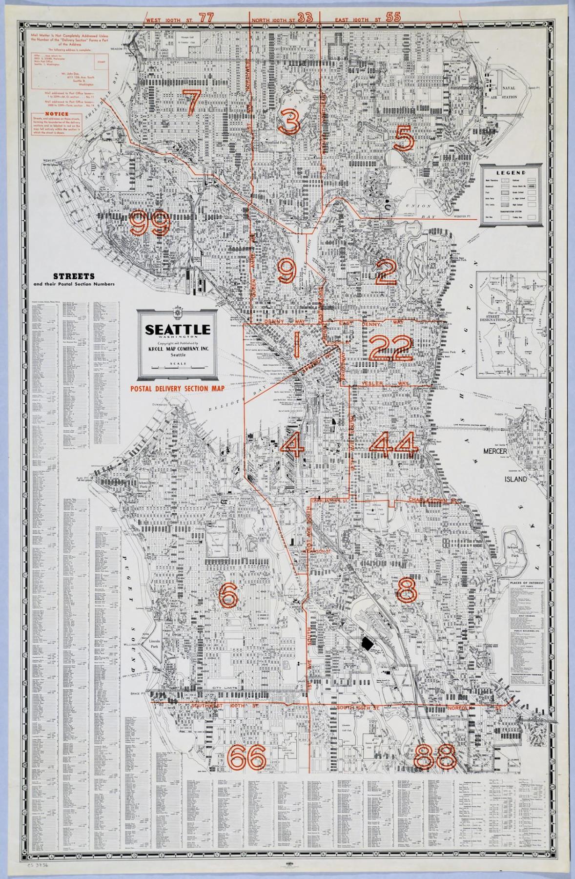
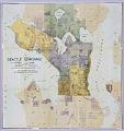
The map pictured here is a copy of a Kroll map of Seattle overlaid with red boundary lines defining the city's postal delivery sections. The upper left corner shows an example of the correct way to address an envelope, reminding Seattleites that "Mail Matter is Not Completely Addressed Unless the Number of the 'Delivery Section' Forms a Part of the Address." An index at left and bottom lists all street names with their postal section numbers.
Caption information source: "The mapmaker, a 106-year-old Seattle business, and a strange request for a map," The Seattle Times, March 23, 2018, p. 100. Caption information source: http://crownhillneighbors.org/wp/2010/05/from-legends-to-lights-the-story-of-olympic-golf-club