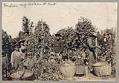
Seattle entrepreneur and amateur photographer O. P. (Oliver Phelps) Anderson (1859-1941) was the son of Alexander Jay Anderson (1832-1903), president of the Washington Territorial University (now University of Washington) from 1877-1882. O. P. trained as a drafting technician and by 1890 had started a civil engineering and map publishing business, O. P. Anderson & Company (later O. P. Anderson Map & Blue Print Company). In 1911, Mr. Anderson sold the company to employee Carl Albert Kroll (1882-1982), who also acquired the Washington Map and Blueprint Company and merged them to become the Kroll Map Company, which is still in operation in Belltown as of 2019.
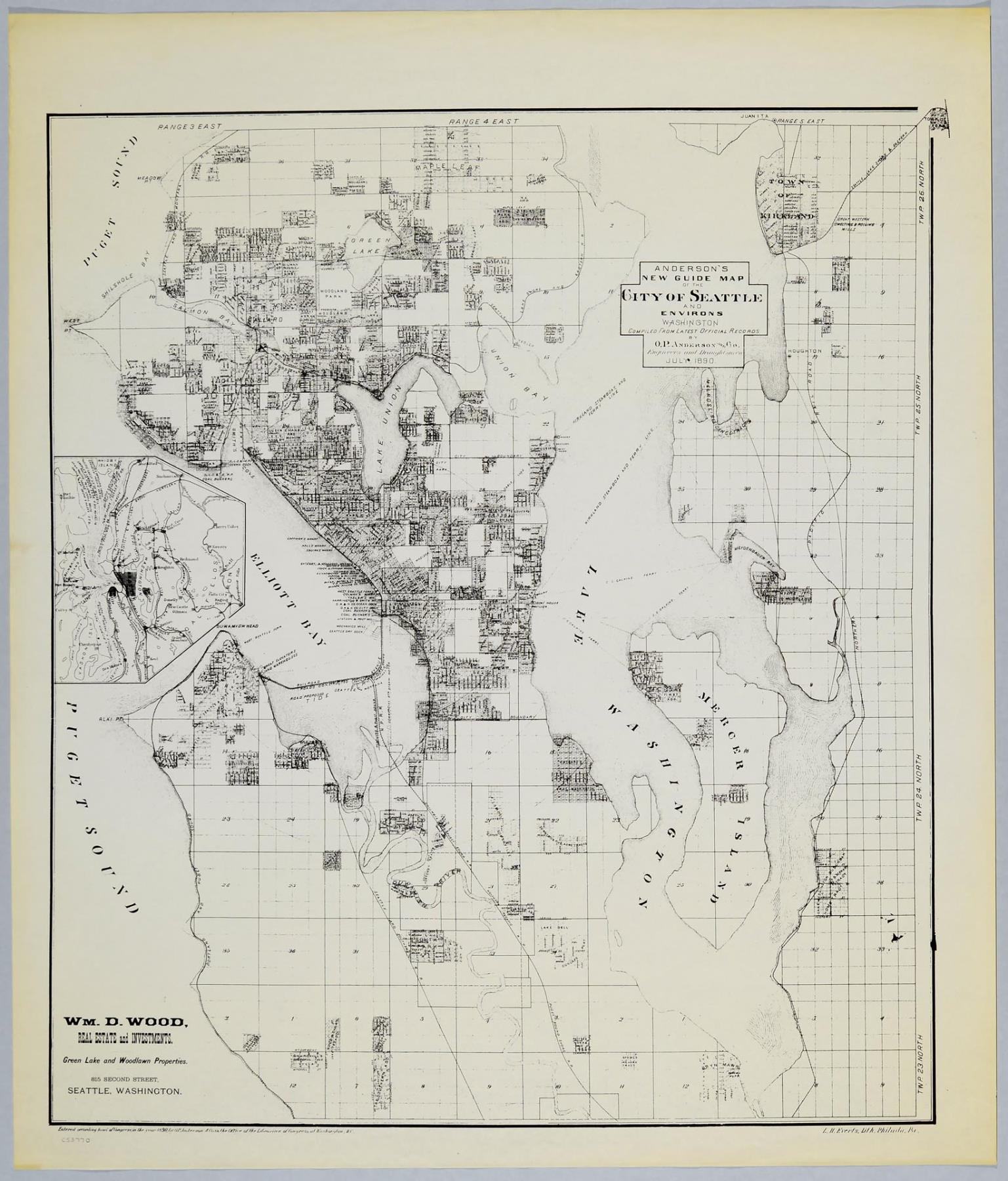
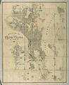
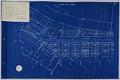
This 1890 Seattle street map advertises for the real estate business of William D. Wood (1858-1917), mayor of Seattle from 1896-1897 and real estate developer of the Green Lake neighborhood. The map includes a key with old and new street names, railroad and street railway routes, outlines of Seattle's nine wards with indication of the lands being filled in along the Duwamish River tidelands, and outlines of West Seattle, South Seattle, Ballard, and Columbia City.
Text on map: Anderson's New Guide Map of the City of Seattle and Environs, Washington, Compiled from the Latest Official Records by the O. P. Anderson Map & Co., Engineers and Draughtsmen, July 1890. Wm. D. Wood, Real Estate and Investments. Green Lake and Woodlawn Properties. 815 Second Street, Seattle, Washington. Entered according to act of Congress, in the year 1890, by the O. P. Anderson Map & Co. in the Office of the Librarian of Congress at Washington, D. C.
Caption source information: "About Kroll Map Company," Kroll Map Company, https://www.krollmapcompany.com/who-we-are/; "Wood, William D. (1858-1917)," by Louis Fiset, HistoryLink.org Essay 1169, https://www.historylink.org/File/1169