Back to Results
2019.3.13
View full size image or right-click on image to save
Cartographic material
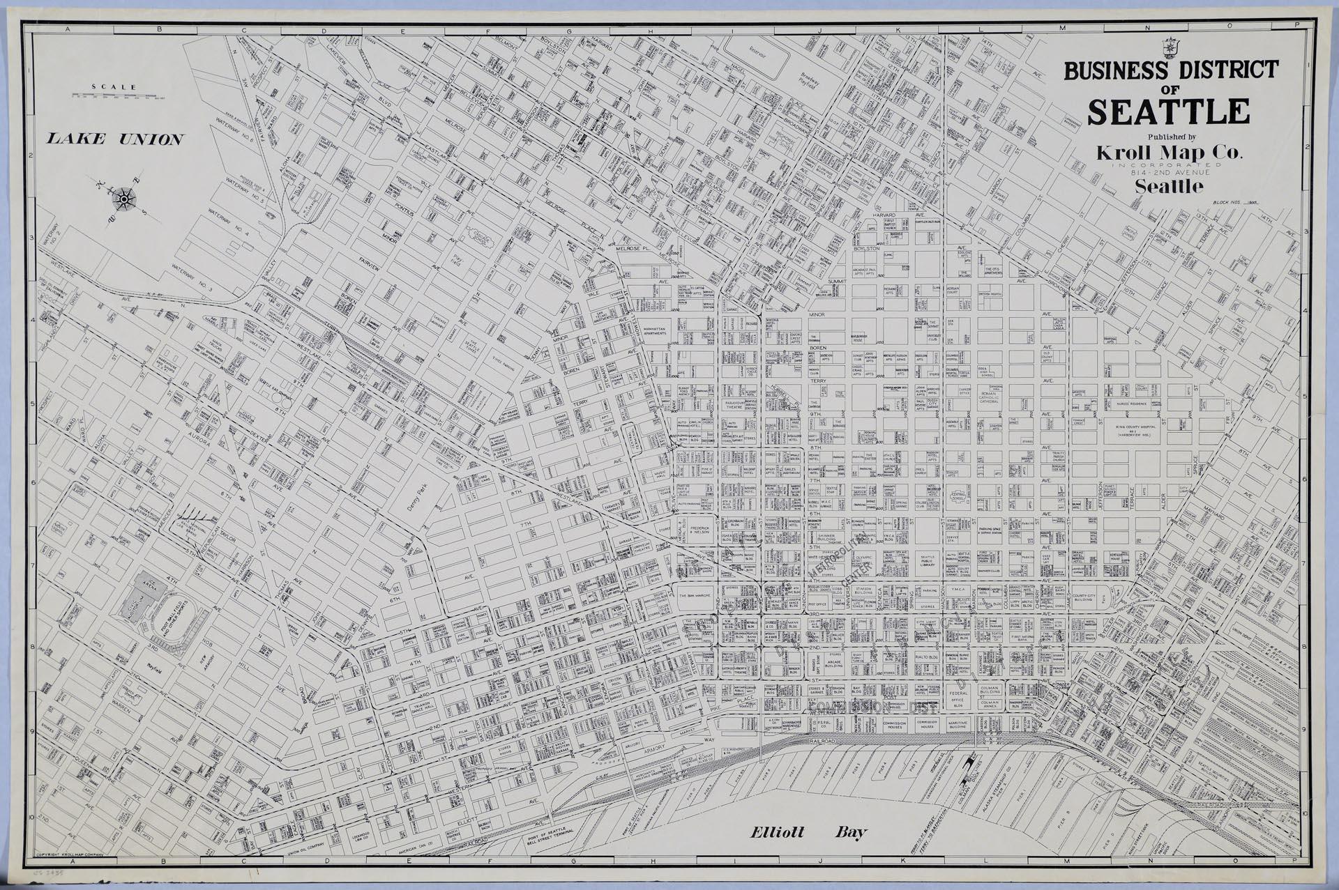
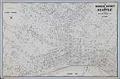
Business District of Seattle, circa 1940
Order an ImageIn 1903 Carl Albert Kroll (1882-1982) immigrated from Germany to the U. S., finding work as a drafting technician at the Moran Brothers shipbuilding company. By 1910, Kroll was the manager at O. P. Anderson Map & Blue Print Company. The following year he acquired both the Anderson Map Company and the Washington Map and Blueprint Company to form the Kroll Map Company. Kroll sold the company in 1920 to friend and employee John Loacker (1874-1964), whose grandson still runs the family business in Belltown as of 2019.
The map pictured here is a print of a hand-drawn Kroll master map of Seattle’s Central Business District, identifying commercial and public buildings from just north of today's Seattle Center to just south of King Street Station, and from Elliott Bay east to Broadway on Capitol Hill. The map is undated; master versions of maps were revised as construction and new businesses changed the city.
Caption information source: "The mapmaker, a 106-year-old Seattle business, and a strange request for a map," The Seattle Times, March 23, 2018, p. 100.
Caption information source: "National Guard Armories in Washington," by Duane Colt Denfeld, Ph.D., HistoryLink.org Essay 10452.
The map pictured here is a print of a hand-drawn Kroll master map of Seattle’s Central Business District, identifying commercial and public buildings from just north of today's Seattle Center to just south of King Street Station, and from Elliott Bay east to Broadway on Capitol Hill. The map is undated; master versions of maps were revised as construction and new businesses changed the city.
Caption information source: "The mapmaker, a 106-year-old Seattle business, and a strange request for a map," The Seattle Times, March 23, 2018, p. 100.
Caption information source: "National Guard Armories in Washington," by Duane Colt Denfeld, Ph.D., HistoryLink.org Essay 10452.
ID Number: 2019.3.13
Date: Circa 1940
Creator(s):
Kroll Map Company, Inc., Creator
Physical Description: 1 map : b&w ; 33.5 x 22.5 in.
Additional Information: Digital copy of this item available thanks to funding from a 2016 Institute for Museum and Library Services grant.
Credit: MOHAI, 2019.3.13
Copyright: All Rights Reserved
Subjects:
Businesses and Corporations
Other matching results
Anderson's 1896 Street and Guide Map of the City of Seattle
Map of the City of Seattle, King County, Washington Territory, 1887
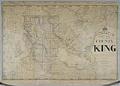
Anderson's New Map of the County of King, State of Washington, 1894
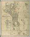
Anderson Map Co.'s Official Map of Greater Seattle, 1909
Anderson Supply Co. photo catalog, circa 1910
Bell's 3rd, 4th, and 5th Addition to the City of Seattle, circa 1890
Business District of Seattle, circa 1940
Anderson's New Guide Map of the City of Seattle & Environs, July 1890
Seattle, Washington, Postal delivery section map, circa 1950