Since the city's earliest days, Seattleites proposed canals to cheaply and easily move logs, coal, and other resources between Elliott Bay and Lake Washington. Possible routes extended from the Black River at the south end of Lake Washington to canals through Lake Union and Shilshole Bay in the north. A 1891 report commissioned by the federal government explored five possible routes, two of which included Salmon Bay between Ballard and Seattle. The route chosen was proposed in 1907 and connected two canals, the Fremont Cut between Salmon Bay and Lake Union and the Montlake Cut between Lake Union and Lake Washington, with locks at Salmon Bay. The Lake Washington Ship Canal was completed in 1917.
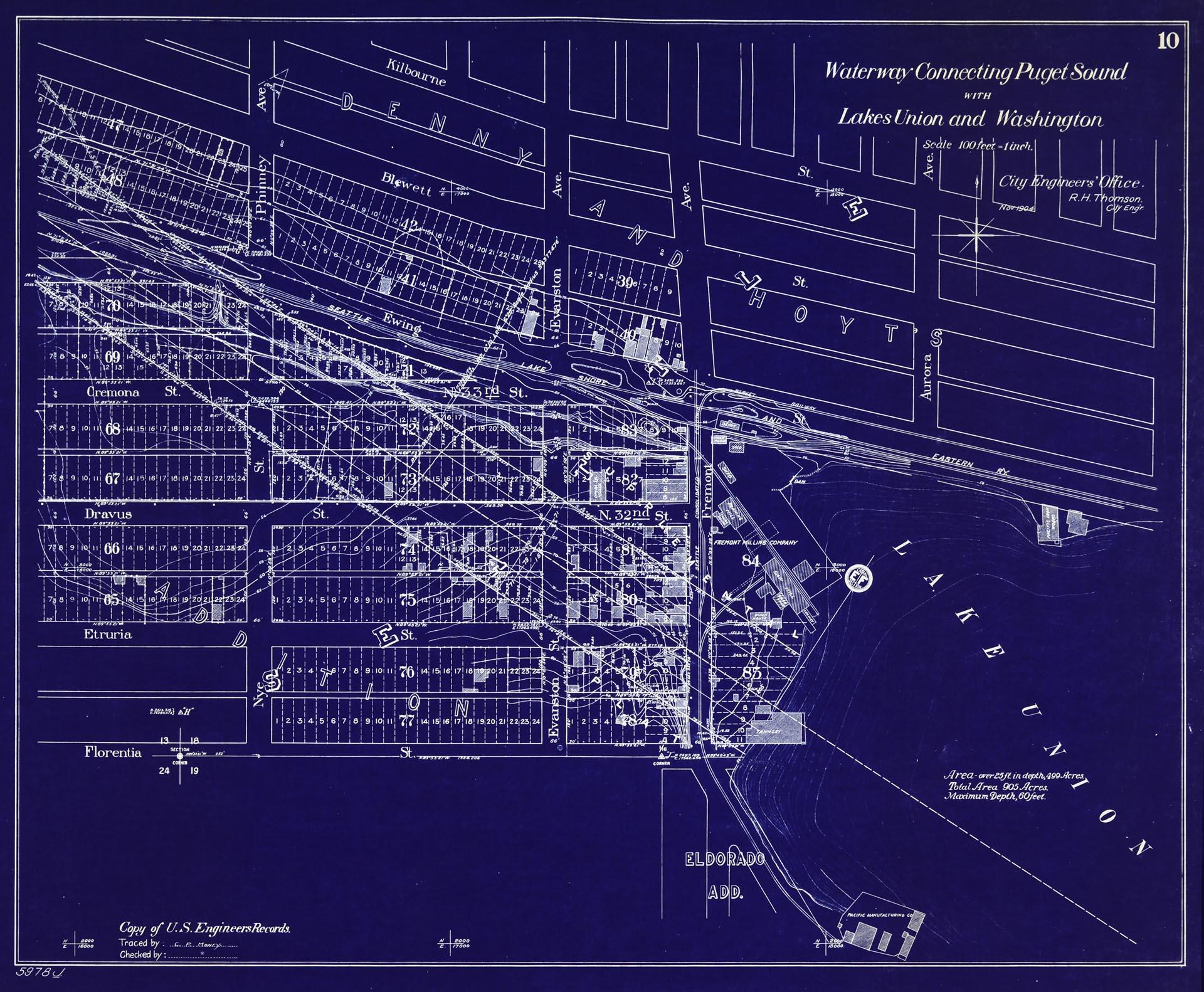
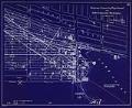
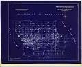
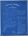
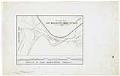
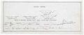
This blueprint copy is map ten of eleven in a series outlining possible routes from Lake Washington through Lake Union and two connections to Puget Sound through Salmon Bay - through Smith Cove to the south and Shilshole Bay in the north. The map was compiled by Seattle City Engineer's office in 1905 from a federal survey done in 1895, and focuses on where the new canal from Salmon Bay enters Lake Union, with identified plats in former tidelands, adjacent land ownership, and railroad routes.
Text on map: 10, Waterway Connecting Puget Sound with Lakes Union and Washington, Scale 100 feet = 1 inch. City Engineers' Office. R. H. Thomson, City Engr., Nov. 1904; Copy of U. S. Engineers' Records, Traced by: E. E. Raret, Checked by: , 5978J.
Caption information source: "Lake Washington Ship Canal (Seattle)," by David B. Williams, HistoryLink.org Essay 1444, https://www.historylink.org/File/1444.