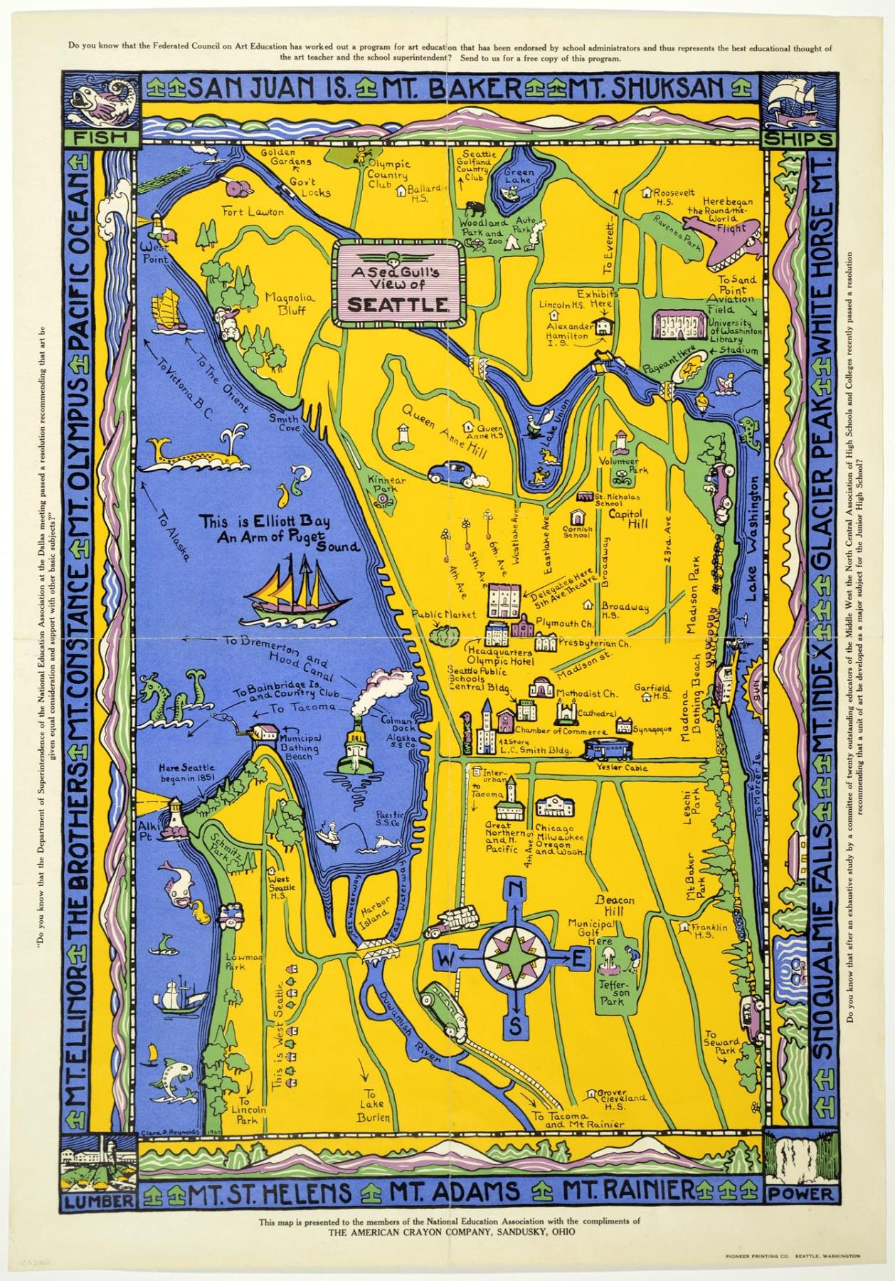
Clara P. Reynolds (1875-1961) created this colorful pictorial map to be distributed by the National Education Association, with quotations on each border of the map stressing the importance of art education in schools. Clara P. Reynolds was an art educator in the Seattle Public Schools after arriving in Seattle in 1905, via New York and Europe. She taught at Franklin High School for one year, and soon became the art supervisor and then director in Seattle Public Schools, a position she held from 1919-1943.
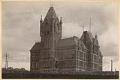
This map illustrates several Seattle buildings and landmarks, including the Seattle Public Schools Central Building, Lincoln High School, Woodland Park Zoo, and the location of the 1851 Alki Landing, among many others. The production of the map was sponsored by the American Crayon Corporation, based out of Sandusky, Ohio until 2002.
Caption information sources: "Funeral set for Clara P. Reynolds, 86," The Seattle Daily Times, December 12, 1961, p.53.; "Picturing America: The Golden Age of Pictorial Maps," by Stephen J. Hornsby, University of Chicago Press, 2017, plate 86; "Seattle's Women Teachers of the Interwar Years: Shapers of a Livable City," by Doris Hinson Pieroth, University of Washington Press, 2012, p.15; "The American Crayon Company," Sandusky History blog, Sandusky Library, http://sanduskyhistory.blogspot.com/2009/04/american-crayon-company.html.
ID Number: 2018.3.8.6
Date: 1927
Physical Description: 1 map : color ; 17 x 24.5 in.
Additional Information: Digital copy of this item available thanks to funding from a 2016 Institute for Museum and Library Services grant.