Back to Results
2018.3.8.5_1
2018.3.8.5_2
View full size image or right-click on image to save
View full size image or right-click on image to save
Cartographic material
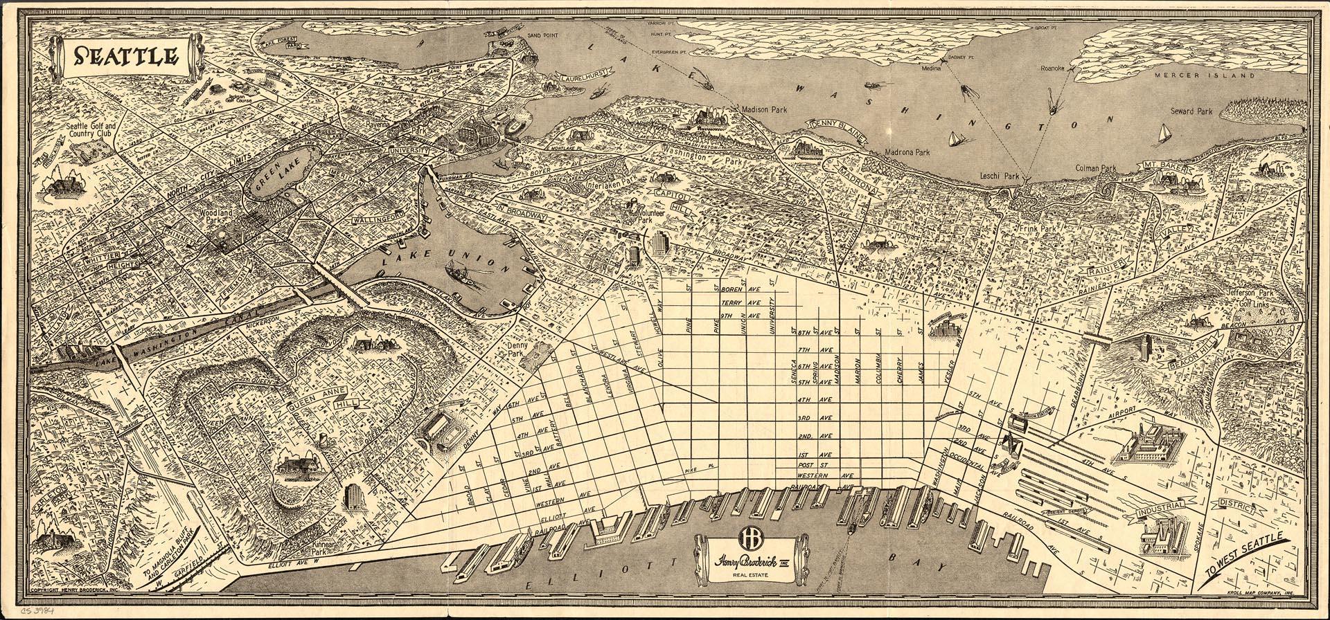
Map of Seattle with illustrations, 1936
Order an ImageHenry Broderick was a highly respected Seattle civic leader and longtime president of the real estate firm, Henry Broderick, Inc., which he founded in 1908. For many years Broderick's firm was the largest real estate firm in Seattle, and there were few parcels of downtown land that were not at some point bought or sold by Henry Broderick, Inc. In 1969 the firm, the largest in the Pacific Northwest at the time, was sold to Coldwell, Banker, and Company.
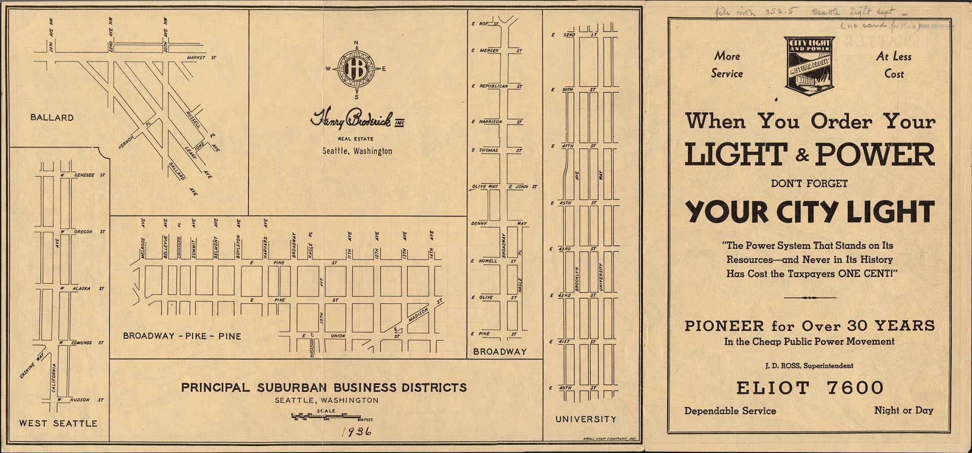
This map, distributed by and possibly created for the Henry Broderick Inc. Real Estate Company by Kroll Map Co., shows Seattle in 1936. The area represented is bounded by Spokane Street at the southeast corner, Mercer Island in the northeast corner, Lake Forest Park in the northwest corner, and Carleton Park in the southwest corner. Each neighborhood is indicated by name, and parks, businesses, and other landmarks are noted with illustrations at their respective street locations. The back of the map shows detail views of the "principal suburban business districts" of West Seattle, University, Ballard, Broadway, and Broadway-Pike-Pine, and includes an advertisement for City Light and Power.
Caption information source: "Broderick, Henry (1880-1975)," by Paula Becker, Historylink.org Essay 7701
This map, distributed by and possibly created for the Henry Broderick Inc. Real Estate Company by Kroll Map Co., shows Seattle in 1936. The area represented is bounded by Spokane Street at the southeast corner, Mercer Island in the northeast corner, Lake Forest Park in the northwest corner, and Carleton Park in the southwest corner. Each neighborhood is indicated by name, and parks, businesses, and other landmarks are noted with illustrations at their respective street locations. The back of the map shows detail views of the "principal suburban business districts" of West Seattle, University, Ballard, Broadway, and Broadway-Pike-Pine, and includes an advertisement for City Light and Power.
Caption information source: "Broderick, Henry (1880-1975)," by Paula Becker, Historylink.org Essay 7701
ID Number: 2018.3.8.5
Date: 1936
Creator(s):
Kroll Map Company, Inc., Publisher
Physical Description: 1 map : b&w ; 23.5 x 10.75 in.
Additional Information: Digital copy of this item available thanks to funding from a 2016 Institute for Museum and Library Services grant.
Credit: MOHAI, 2018.3.8.5
Copyright: All Rights Reserved
Subjects:
Neighborhoods
Other matching results
Anderson's 1896 Street and Guide Map of the City of Seattle
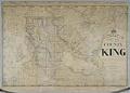
Anderson's New Map of the County of King, State of Washington, 1894
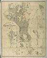
Anderson Map Co.'s Official Map of Greater Seattle, 1909
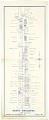
North Broadway map, January 1937
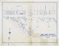
Ballard District map, June 1931
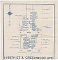
N 85th St & Greenwood Ave map, circa 1935
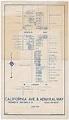
California Ave & Admiral Way map, June 1931
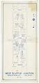
West Seattle Junction map, May 1934
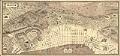
Map of Seattle with illustrations, 1936