Back to Results
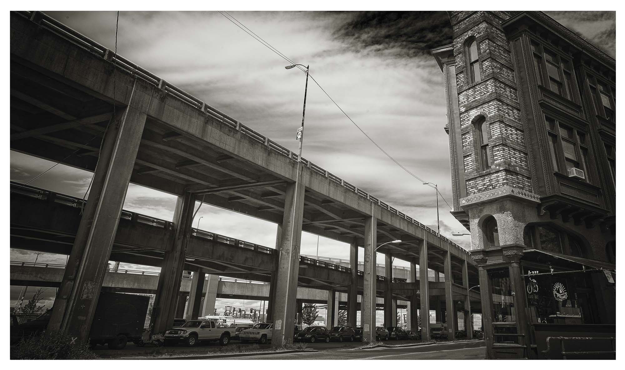
2017.14.19
View full size image or right-click on image to save
Photograph
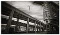
View of the Alaskan Way viaduct and ramps at First Avenue South, Seattle, October 2009
Order an ImageThe Alaskan Way Viaduct was an elevated highway in Seattle which was completed in 1966 after 16 years of construction and decades of planning. The double-decked highway ran along the Elliott Bay waterfront above the surface street, Alaskan Way, following previously existing railroad lines. The viaduct provided Seattle with its first bypass route around the downtown business district. The viaduct was damaged in the 2001 Nisqually earthquake and was replaced by a tunnel in 2019.
This image was taken facing northwest and looking from street level up to the viaduct at the intersection of Railroad Avenue, First Avenue, and Dearborn Street, in the Pioneer Square neighborhood of downtown Seattle. The building to the right still stands as of 2026. It opened in 1910 as the Triangle Hotel or Flatiron Building. In the window, one can see the logo of Pyramid Breweries.
Caption information source: Seattle Department of Neighborhoods: Seattle Historical Sites, Summary for 551 1st AVE / Parcel ID 7666206935 / Inv #. https://web.seattle.gov/DPD/HistoricalSite/QueryResult.aspx?ID=190942206. Retrieved June 5, 2026.
This image was taken facing northwest and looking from street level up to the viaduct at the intersection of Railroad Avenue, First Avenue, and Dearborn Street, in the Pioneer Square neighborhood of downtown Seattle. The building to the right still stands as of 2026. It opened in 1910 as the Triangle Hotel or Flatiron Building. In the window, one can see the logo of Pyramid Breweries.
Caption information source: Seattle Department of Neighborhoods: Seattle Historical Sites, Summary for 551 1st AVE / Parcel ID 7666206935 / Inv #. https://web.seattle.gov/DPD/HistoricalSite/QueryResult.aspx?ID=190942206. Retrieved June 5, 2026.
ID Number: 2017.14.19
Date: 2009
Creator(s):
Frey, Michael D., Photographer
Physical Description: 1 image file : tif ; 70.8 MB
Credit: MOHAI, Michael D. Frey Alaskan Way Viaduct photographs, 2017.14.19
Copyright: All Rights Reserved
Other matching results
Horton family posing together on porch, Seattle, circa 1890
House on northwest corner of Meridian and Kirkwood Place, Seattle, circa 1925
House owned by Dr. Nils A. Johanson on Broadway East, Seattle, circa 1925
Swedish-American family on porch of house, circa 1925
Ballard Bitter poster, Seattle, circa 1986
Supports beneath Alaskan Way viaduct near South Washington Street, Seattle, August 2009
View of the Alaskan Way viaduct and ramps at First Avenue South, Seattle, October 2009
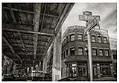
View underneath the Alaskan Way viaduct at South Main Street and Alaskan Way, Seattle, May 2010
Phinney Neighborhood Farmers Market poster, Seattle, June 3 - September 30, 2016