View full size image or right-click on image to save
Photograph
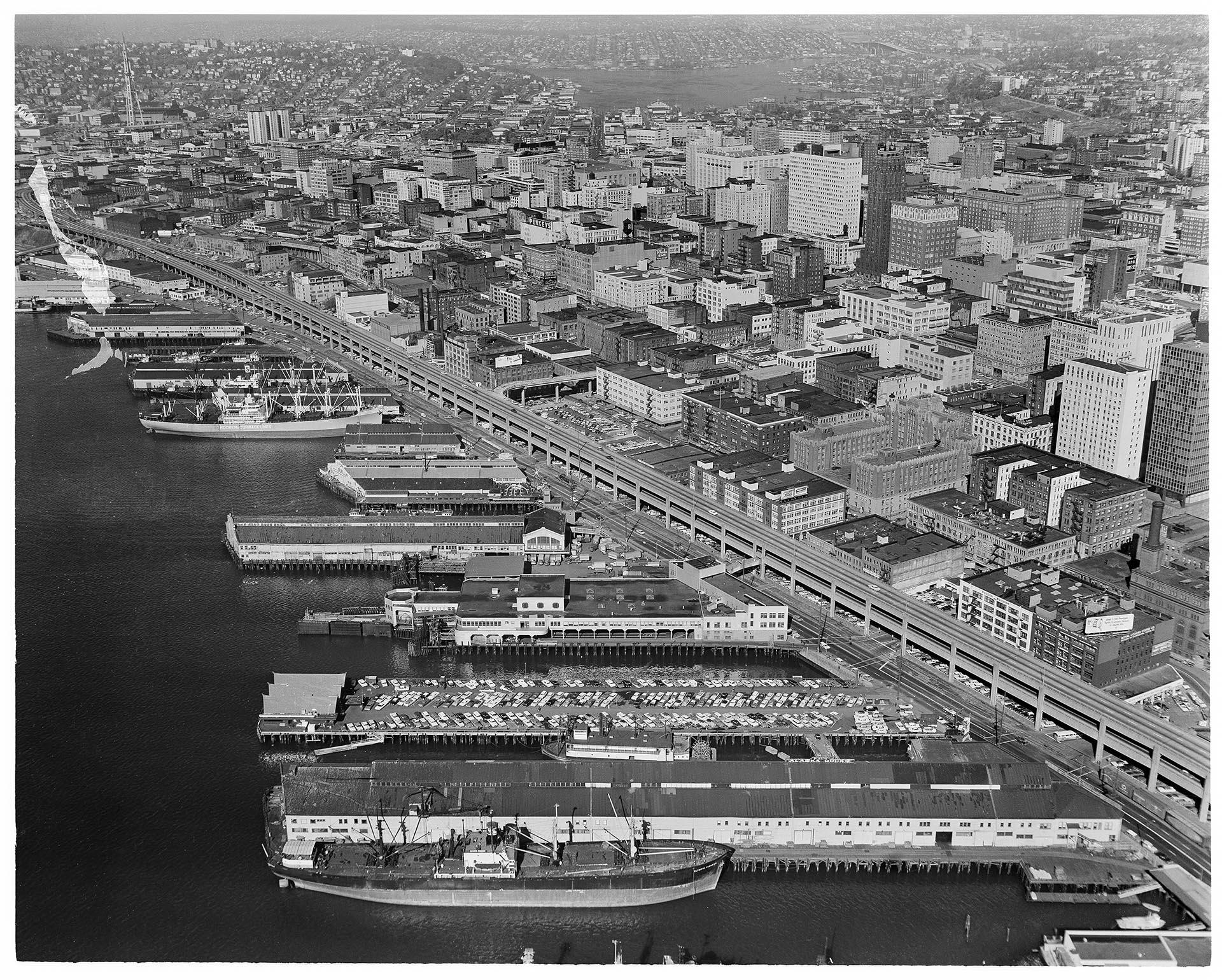
Aerial view of Seattle waterfront, including viaduct construction, October 16, 1961
Order an ImageThis aerial photograph of Seattle's waterfront from 1961 features the viaduct nearing completion after what would be 16 years of construction (1950-1966). The Alaskan Way Viaduct was part of a larger effort to develop the remaining two-lane segments of State Route 99, also known as Pacific Highway, into a four-lane roadway from the Oregon border to the Canadian border.
The piers along Seattle's waterfront also feature prominently in this photograph, as does the construction of the Space Needle in the upper left corner of the frame.
John Fraser Vallentyne (1928-2002) was an aerial photographer for The Boeing Co. and a staff photographer for the Seattle Post-Intelligencer in the 1950s-1960s.
Caption information source: "Alaskan Way Viaduct, Part 3: Building the Viaduct," Jennifer Ott, http://www.historylink.org/File/9978
Caption information source: "John F. Vallentyne, photographer, dies at 74," by D. Parvaz, Seattle Post-Intelligencer, July 1, 2002
The piers along Seattle's waterfront also feature prominently in this photograph, as does the construction of the Space Needle in the upper left corner of the frame.
John Fraser Vallentyne (1928-2002) was an aerial photographer for The Boeing Co. and a staff photographer for the Seattle Post-Intelligencer in the 1950s-1960s.
Caption information source: "Alaskan Way Viaduct, Part 3: Building the Viaduct," Jennifer Ott, http://www.historylink.org/File/9978
Caption information source: "John F. Vallentyne, photographer, dies at 74," by D. Parvaz, Seattle Post-Intelligencer, July 1, 2002
ID Number: 2009.23.77
Date: 1961
Creator(s):
Vallentyne, John, Photographer
Physical Description: 1 negative : b&w ; 4 x 5 in.
Additional Information: Digital copy of this item available thanks to funding from a 2016 Institute for Museum and Library Services grant.
Credit: MOHAI, John Vallentyne Collection, 2009.23.77
Copyright: All Rights Reserved