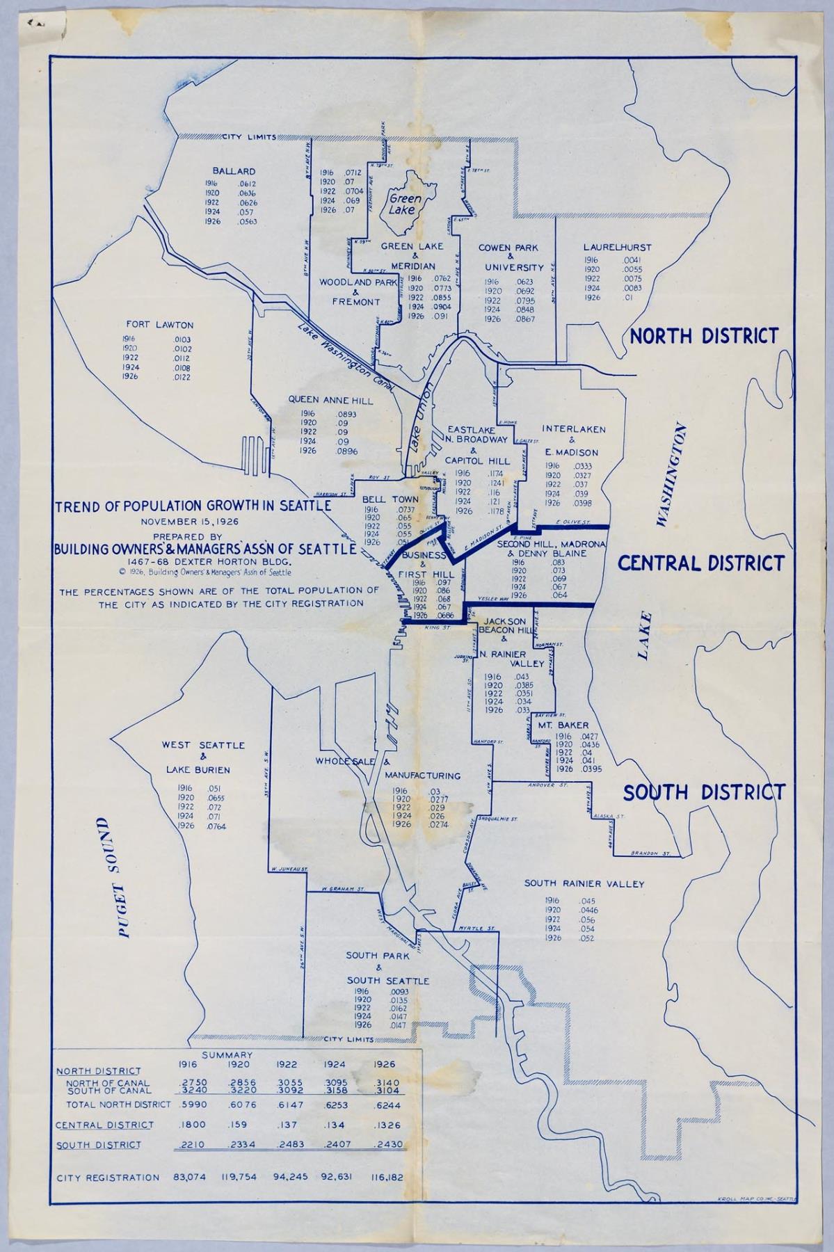
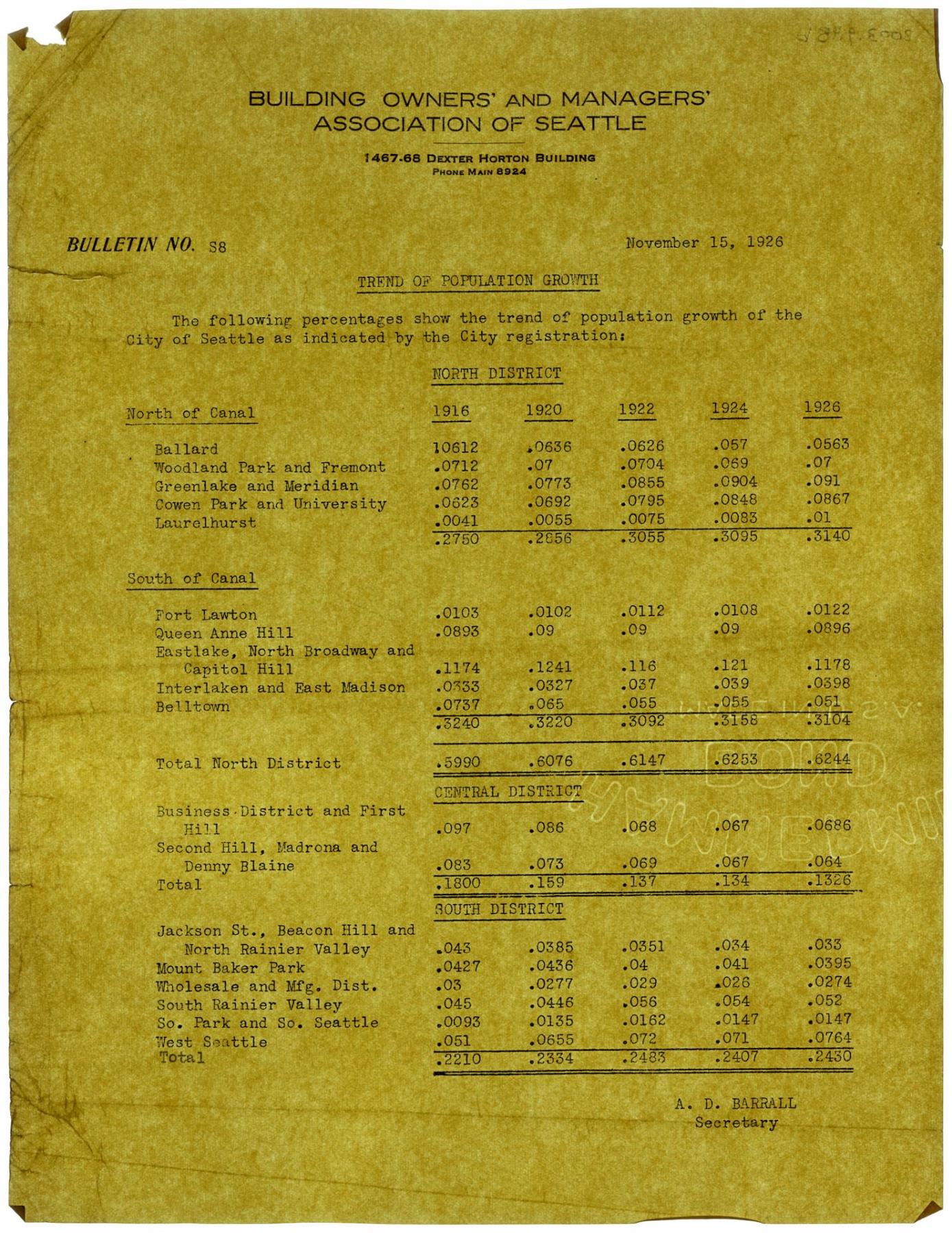
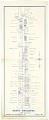
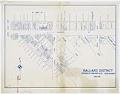
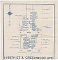
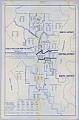
This 1926 map of Seattle is divided into neighborhoods, bounded on the North End by Ballard, and on the South by Rainier Valley and South Park. Each neighborhood is notated with the percentages of city population for that neighborhood for each of five years: 1916, 1920, 1922, 1924 and 1926. The map notes that "the percentages shown are of the total population of the city as indicated by the city registration." The neighborhood with the highest percentage of the population was Eastlake/North Broadway/Capitol Hill at 0.1178% and the neighborhood with the smallest percentage was Laurelhurst at 0.01%. The same information was also written up in Bulletin No. 88 as one page of text, signed by A.D. Barrall, Secretary of BOMA, and also published on November 15, 1926.
The map was created by the Building Owners and Managers Association of Seattle, or BOMA for short, which was incorporated in 1912, led by Charles E. Horton, and is still in existence as of 2019. BOMA's mission was to bring together building owners "for the purpose of effectively bettering conditions pertaining to the conception, construction and management of buildings." When this map was produced on November 15, 1926, BOMA was housed at 1467-68, 710 2nd Avenue in the Dexter Horton building.
Caption information source: "BOMA Seattle King County Celebrates 100 years", BOMA Seattle King County, October, 2012. Retrieved from https://cdn.ymaws.com/www.bomaseattle.org/resource/resmgr/Files/About_BOMA/Final_PDF_of_100_year_Public.pdf on April 22, 2019.