In 1897, the city of Seattle donated land on Magnolia Bluff to the US government to build a new Army post as part of a defense system for Puget Sound; this was designated as Fort Lawton in 1900. During most of its active service, the fort served as an embarkation station where troops gathered before being sent to duty in Asia and the Pacific. The fort also served as Prisoner of War camp during WWII.
In the late 1960s, the US Army announced its intention to decommission most of the land at Fort Lawton. This prompted the City of Seattle to plan for a park on the land, while Native American activists wanted to reclaim the land for Indigenous use. Ultimately the city received most of the land for what would become Discovery Park, and after a peaceful occupation led by Bernie Whitebear (Sin-Aikst or Sinixt), the United Indian People’s Council (later United Indians of All Tribes) received 17 acres to build a cultural center; the Daybreak Star Indian Cultural Center opened in 1977.
More of the Fort Lawton land was transferred to the City of Seattle in 1975, and Fort Lawton officially closed in 2011, with the final transfer of property the following year.
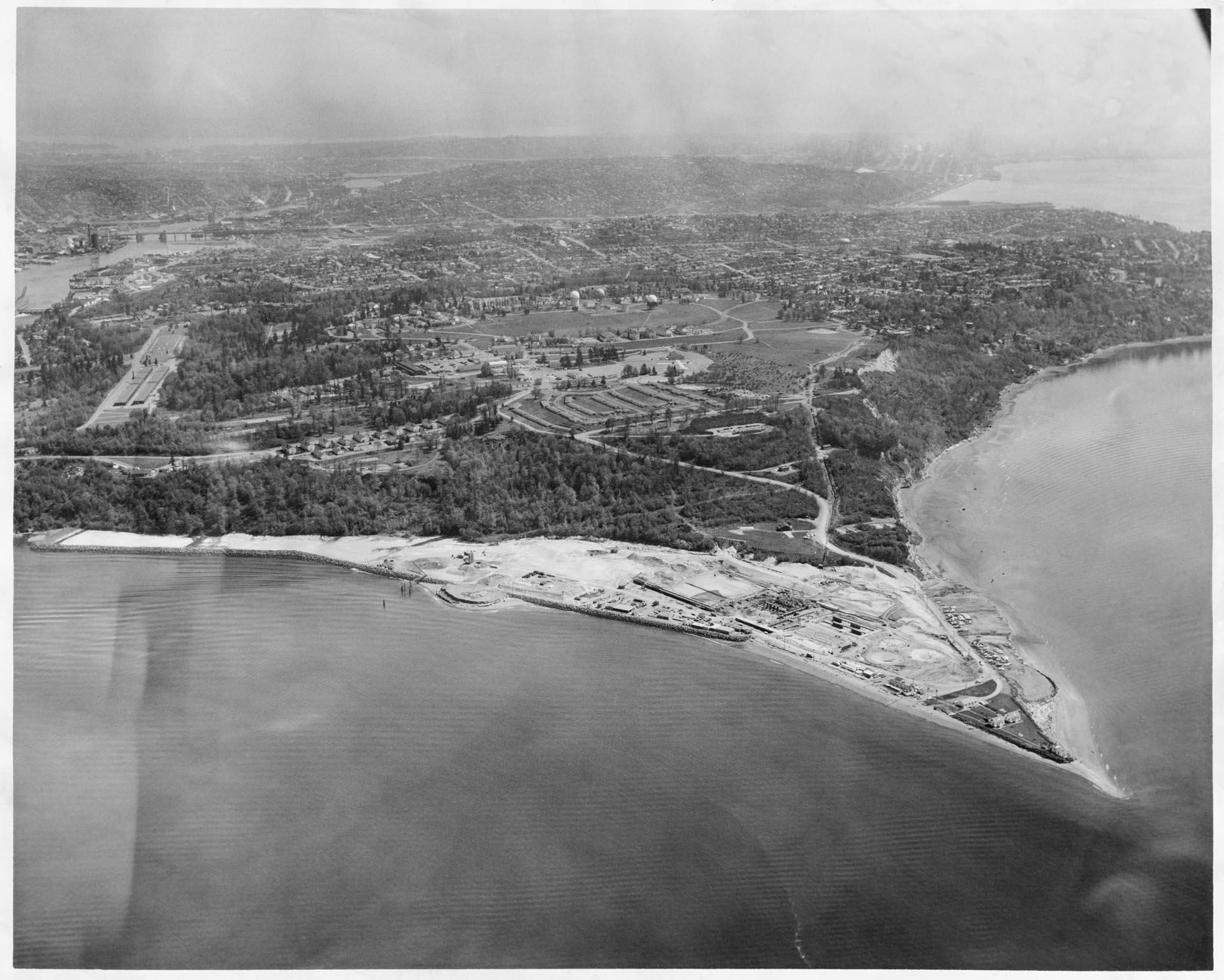
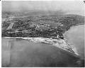
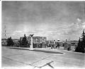
This photograph shows Fort Lawton in the center of the frame, with the West Point Treatment Plant (completed 1966) under construction in the foreground. The Ballard Bridge is just visible at the top left of the frame.
Caption information source: https://www.kingcounty.gov/depts/dnrp/wtd/system/west/history.aspx
ID Number: 2000.107.216.25.01
Date: 1964
Physical Description: 1 photographic print : b&w ; 10 x 8.25 in.
Additional Information: Digital copy of this item available thanks to funding from a 2016 Institute for Museum and Library Services grant.