Back to Results
1986.5.7332.1
View full size image or right-click on image to save
Photograph
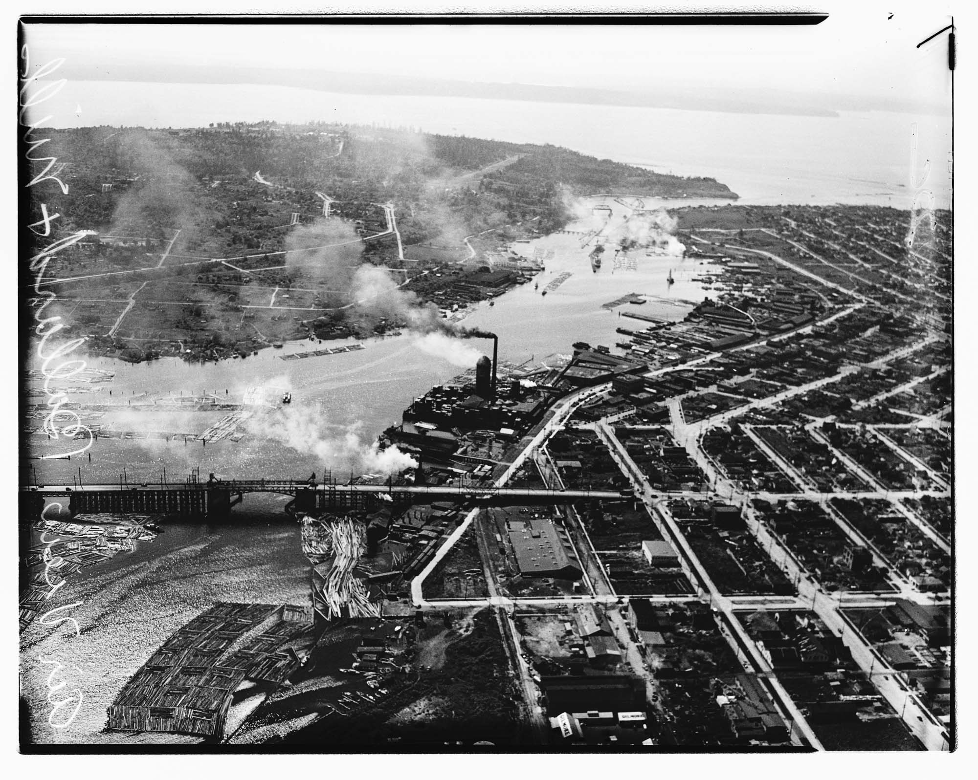
Aerial view of Ballard looking west, Seattle, 1937
Order an ImageThe first Ballard Bridge opened in December 1917, crossing the Lake Washington Ship Canal and linking the Ballard district by road to Seattle. This aerial photo shows the Ballard Bridge and Salmon Bay, with the Hiram M. Chittenden Locks and Puget Sound at the top of the image. Log rafts floating in the bay are visible at the bottom left of the photo.
Handwritten on negative: Air view Ballard & mill.
Handwritten on sleeve: SEATTLE, Ballard, Airview.
Date photograph was filed at the Seattle Post-Intelligencer (date of photograph and file date may differ by a month or more): July 4, 1937.
Handwritten on negative: Air view Ballard & mill.
Handwritten on sleeve: SEATTLE, Ballard, Airview.
Date photograph was filed at the Seattle Post-Intelligencer (date of photograph and file date may differ by a month or more): July 4, 1937.
ID Number: 1986.5.7332.1
Date: 1937
Physical Description: 1 negative : nitrate, b&w ; 4 x 5 in.
Credit: MOHAI, Seattle Post-Intelligencer Collection, 1986.5.7332.1
Copyright: All Rights Reserved
Other matching results
Aerial of Evergreen Point Bridge under construction from west, Seattle, 1963
Aerial view of Seattle's business district, 1937
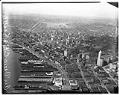
Aerial view of downtown Seattle looking northeast, 1937
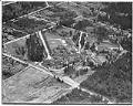
Aerial view of Firland Sanatorium, Shoreline, May 1938
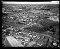
Aerial view of Museum of History & Industry, Seattle, 1952
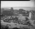
Aerial of Seattle Public Library under construction from northeast, Seattle, 1959
Aerial view of the Alaskan Way Viaduct, Seattle, 1953
Aerial of Alaskan Way Viaduct extension south to Spokane Street with a view northeast toward Seattle, 1959