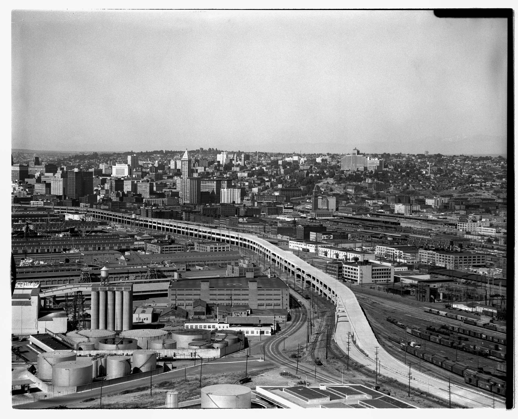
Seattle's Alaskan Way Viaduct carried traffic over the waterfront area, linking the northern part of the city to the industrial area south of the central business district. The first unit of the elevated roadway, from Battery Street to Dearborn Street, was completed in 1953 and a southern extension in 1959. The Viaduct closed in January 2019 after being replaced by the State Route 99 tunnel. Demolition of the Alaskan Way Viaduct began in February 2019 and finished in November that year.
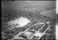
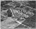
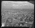
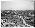
This aerial photo was taken near the completion of the extension.
Handwritten on sleeve: SEATTLE, STREETS, Alaskan Way Viaduct, airview of extension South to Spokane St., airview. Date photograph was filed at the Seattle Post-Intelligencer (date of photograph and file date may differ by a month or more): August 10, 1959.
Caption information source: Paul Dorpat and Genevieve McCoy, Building Washington: A History of Washington State Public Works.
ID Number: 1986.5.12223.1
Date: 1959
Physical Description: 1 negative : acetate, b&w ; 4 x 5 in.