Back to Results
a1983.10.6089
View full size image or right-click on image to save
Photograph
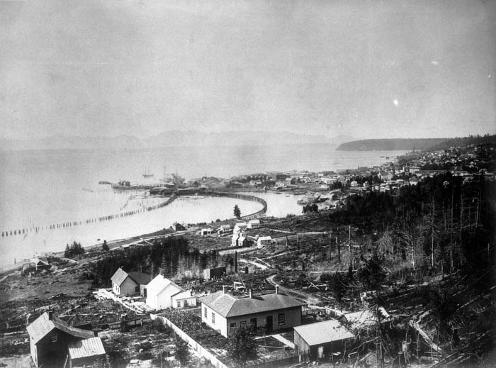
View of Seattle, looking northwest from 12th St. and Dearborn, circa 1882
Order an ImageMuch of Seattle was built on land reclaimed from Elliott Bay and the mouth of the Duwamish River. Muddy tide flats once extended all the way to the foot of Beacon Hill. Roads and railroad tracks were built over the flats on wooden trestles. Regrades in the early 20th century flattened Seattle’s hills and also provided more material for reclaimed land.
This image was taken on the north end of Beacon Hill around 1882. The land in the foreground is now part of the Chinatown International District. The center of the image shows the waterfront and the area that would become Pioneer Square. Denny Hill, now Belltown, can be seen on the right. Magnolia is visible in the right background.
This image was taken on the north end of Beacon Hill around 1882. The land in the foreground is now part of the Chinatown International District. The center of the image shows the waterfront and the area that would become Pioneer Square. Denny Hill, now Belltown, can be seen on the right. Magnolia is visible in the right background.
ID Number: 1983.10.6089
Date: Circa 1882
Creator(s):
Webster & Stevens, Photographer
Physical Description: 1 nitrate copy negative : b&w ; 5 x 7 in.
Credit: MOHAI, PEMCO Webster & Stevens Collection, 1983.10.6089
Copyright: All Rights Reserved
Other matching results
Arthur Denny's cabin at Alki Point, circa 1902
John J. McGilvra's farm, circa 1870
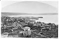
Looking south from Denny Hill, 1882
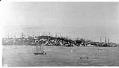
Seattle waterfront, circa 1872
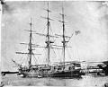
U.S.S. Decatur, circa 1850
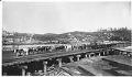
Oxen hauling logs along waterfront, Seattle, circa 1885
Seattle view looking northwest, circa 1885
Front Street from Frye's Opera House, circa 1885