Back to Results
1983.10.17774.1
View full size image or right-click on image to save
Photograph
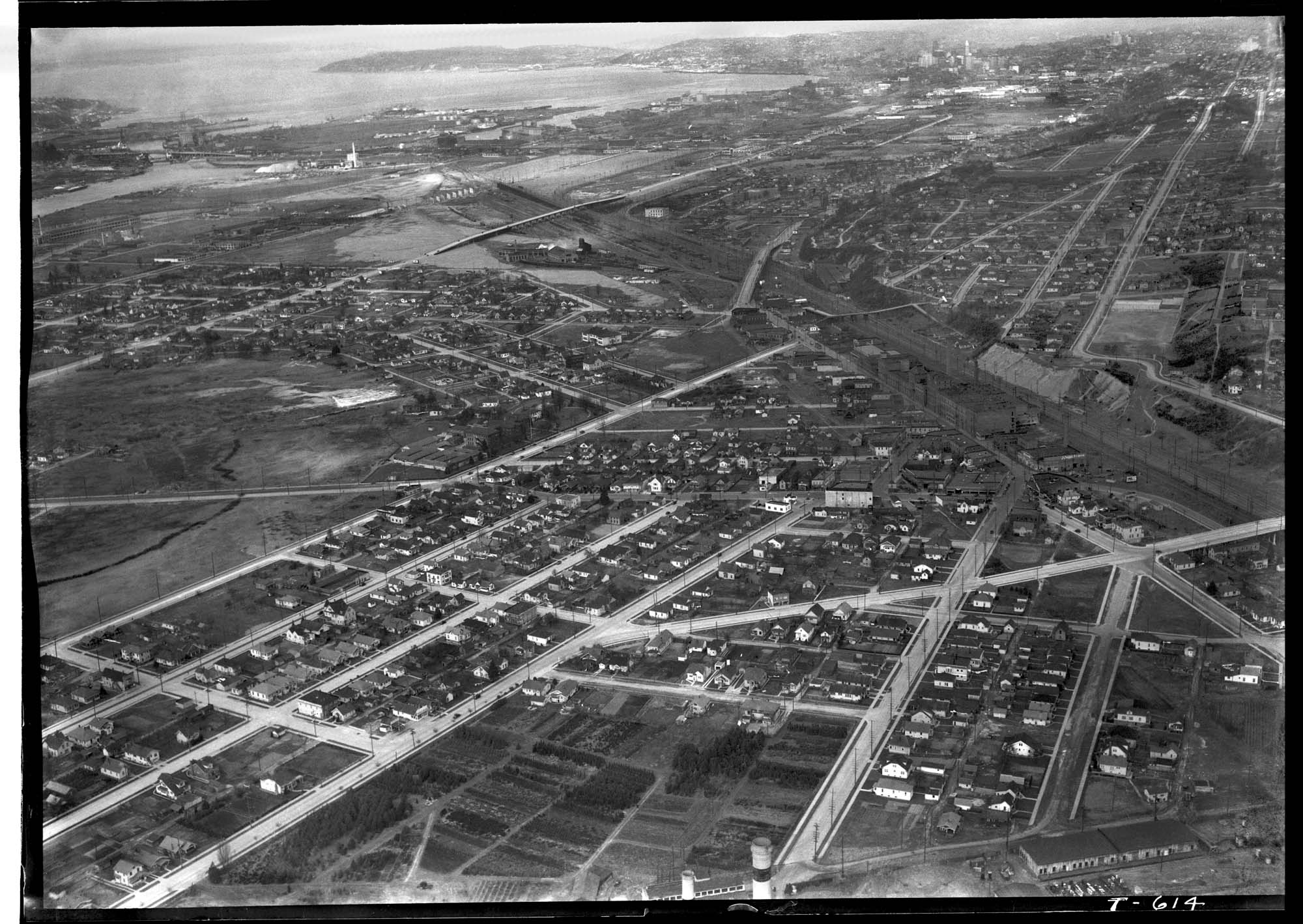
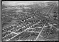
Aerial view of Georgetown from the southeast, 1936
Order an ImageGeorgetown is located south of downtown Seattle in the Duwamish River Valley. By the time of this 1936 image, much of the river's original course had been filled in for houses, farms, and factories. Empty land created by the filling of the river’s old oxbows can be seen at the left edge of the image, bisected by South Michigan Street and bordered, in part, by Corson Avenue South.
The triangular junction at the lower center marks the intersection of South Eddy Street, Ellis Avenue South, and South Albro Place, which then heads northeast. The diagonal dark area running through the right center marks the railroad tracks, and one can just make out the dark brick buildings of the Seattle Brewing & Malting Company's Bayview Brewery nearby, between the north end of Corson and 13th Avenue South. The smokestacks barely visible at the bottom center of the image are likely from the Georgetown Steam Plant.
Photographer's number: T-614
The triangular junction at the lower center marks the intersection of South Eddy Street, Ellis Avenue South, and South Albro Place, which then heads northeast. The diagonal dark area running through the right center marks the railroad tracks, and one can just make out the dark brick buildings of the Seattle Brewing & Malting Company's Bayview Brewery nearby, between the north end of Corson and 13th Avenue South. The smokestacks barely visible at the bottom center of the image are likely from the Georgetown Steam Plant.
Photographer's number: T-614
ID Number: 1983.10.17774.1
Date: 1936
Creator(s):
Laidlaw, Charles R., Photographer
Physical Description: 1 negative : nitrate, b&w ; 5 x 7 in.
Credit: MOHAI, PEMCO Webster & Stevens Collection, 1983.10.17774.1, photo by Charles R. Laidlaw
Copyright: All Rights Reserved
Other matching results
Panoramic view of Harbor Island, circa 1914
Seventh and Pike during the Strike, Seattle, February 7, 1919
Navy pilots attending training class on UW campus, Seattle, 1918
Yacht Pirate sailing on Lake Union, Seattle, April 7, 1926
Aerial of downtown Seattle, August 9, 1933
Aerial view of Georgetown, from the south, September 19, 1933
Aerial view of Marine Hospital, Seattle, 1937
Aerial view of Connecticut Street dock, Seattle, 1935
Aerial view of Georgetown from the southeast, 1936