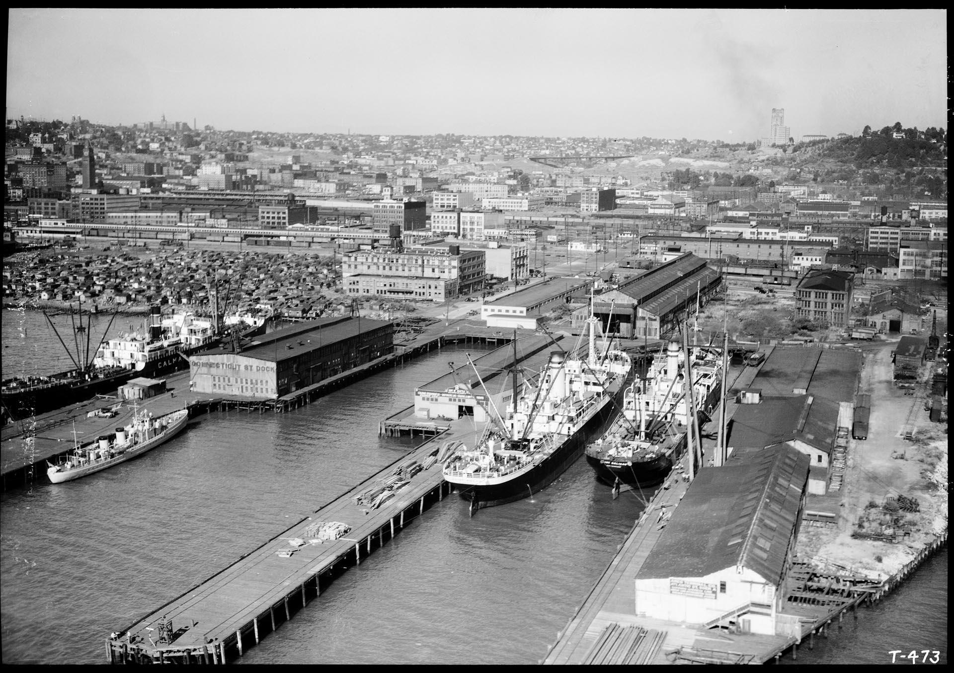
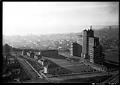
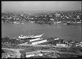
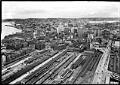
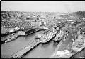
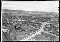
This aerial view of what is now Seattle's SoDo neighborhood, located just south of downtown, features docks that were owned by the Port of Seattle and utilized by shipping companies. Just north of the docks, at the left center edge of the frame, is what was then Seattle's largest Hooverville, a temporary and improvised shantytown populated by men left unemployed during the Great Depression. Seattle's port activity increased dramatically with the onset World War II, and the area was raised during construction of a new pier, now known as Terminal 46.
Signs in image: Calmar Line; Connecticut St Dock; Seattle Transfer Warehouse; Port of Seattle, Atlantic St Dock B; Ames Terminal Co, Atlantic St Dock A Webster & Stevens number: T-473
Caption information source: http://depts.washington.edu/depress/hooverville_seattle.shtml
Physical Description: 1 negative : nitrate, b&w ; 5 x 7 in. ; sulfiding
Additional Information: Digital copy of this item available thanks to funding from a 2016 Institute for Museum and Library Services grant. Metadata updated as part of a grant from the Institute of Museum and Library Services administered by the Library Services and Technology Act, through the Washington State Library, a division of the Office of the Secretary of State.