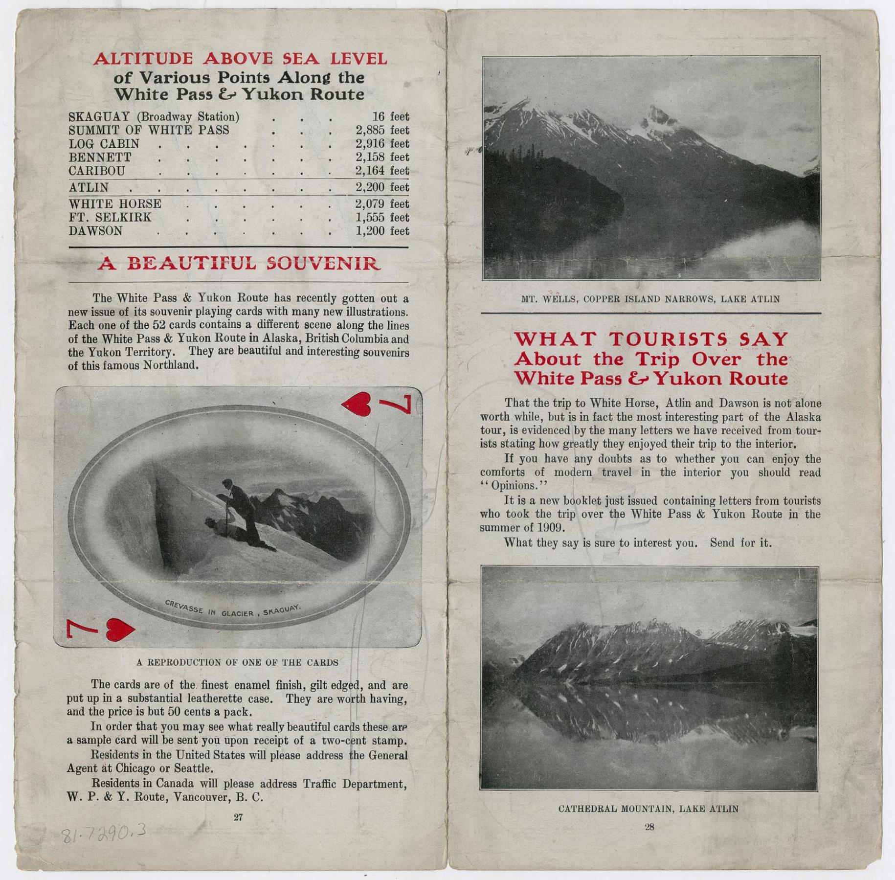
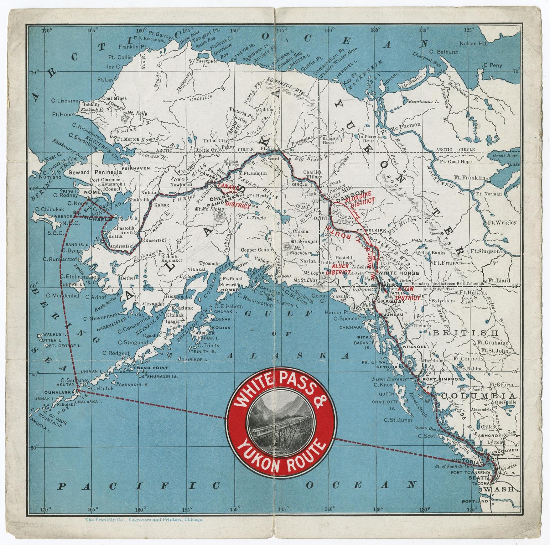
When gold was discovered in the Yukon in 1897, prospectors had to make the dangerous journey on foot from the Alaska coast to the gold fields, some 550 miles into the Canadian interior. After the building of the first section of the White Pass & Yukon Route railroad in 1898-1899, the trip, which had formerly taken days, could now be made in three hours.
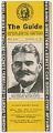
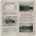
A growing number of tourists also made the trip. Around 1910, the White Pass & Yukon Route handed out this leaflet with a map of Alaska, Yukon Territory, and British Columbia. The names of the mining districts are printed in red. The leaflet also gives the altitudes of various points along the route from Skagway to Dawson, promotes a set of souvenir playing cards, and suggests that tourists send for a new booklet on the trip.
Caption information source: White Pass & Yukon Route website.
ID Number: 1981.7290.3
Date: 1910
Physical Description: 1 sheet ; 8 x 8 in. folded to 4 x 8 in.
Additional Information: Digital copy of this item available thanks to funding from a 2016 Institute for Museum and Library Services grant. Metadata updated as part of a grant from the Institute of Museum and Library Services administered by the Library Services and Technology Act, through the Washington State Library, a division of the Office of the Secretary of State.