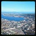
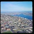
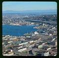
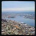
In 1882, lumber mills, shipyards, and other industries began to move north from Seattle’s waterfront to the shores of Lake Union. Industrial development continued with Seattle’s growth but shrank after World War II. A few shipyards remained by the late 1960s, plus some light industry, apartments, parking lots, fast food restaurants, marinas, and a seaplane terminal. Roads were built and widened to move traffic quickly through the area.
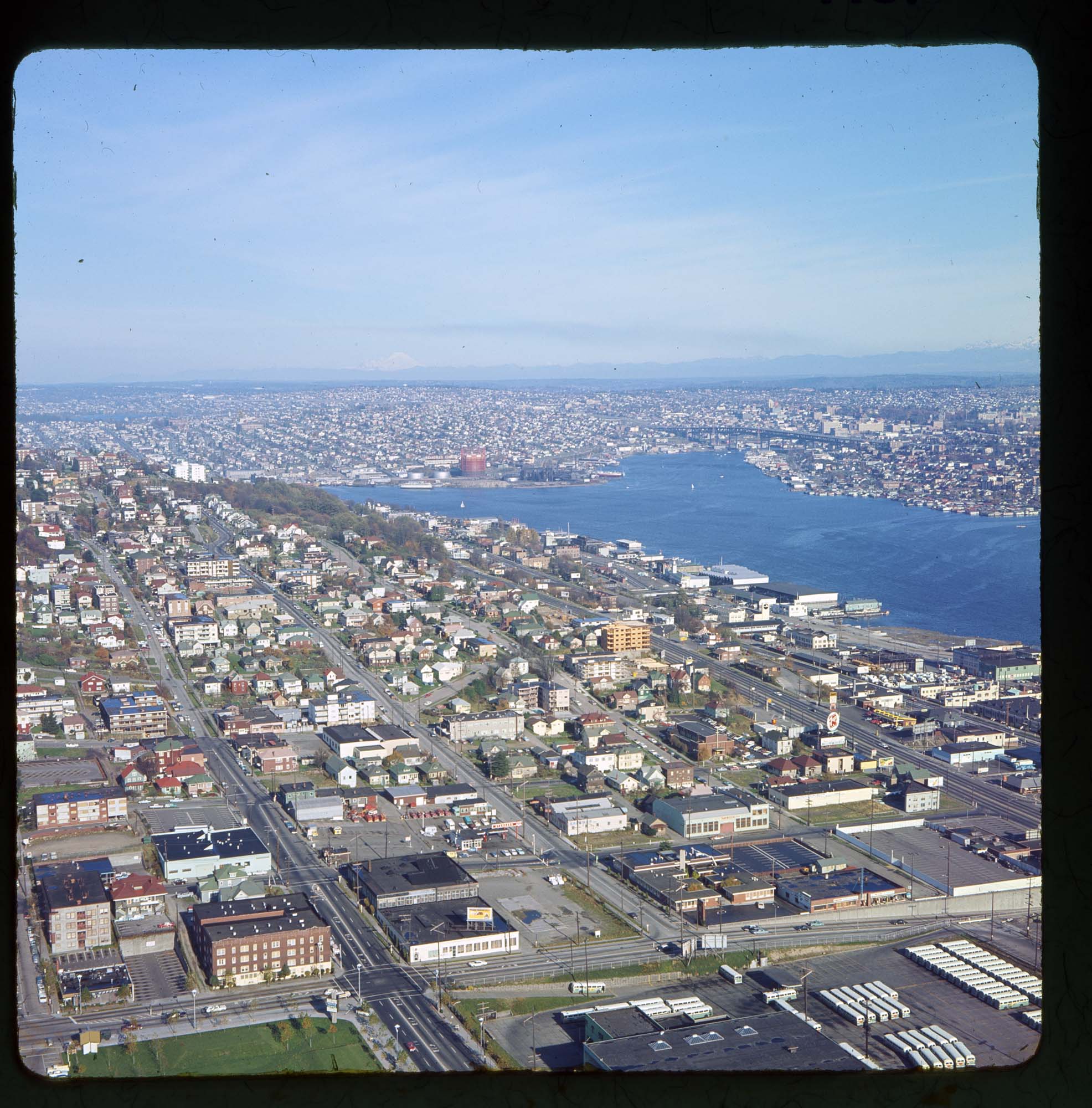
This image, taken from the southwest, shows the western and part of the northern shores of Lake Union. The reddish tank of the city’s coal gasification plant (now Gasworks Park) can be seen in the upper left center, and the Interstate 5 bridge crosses the Lake Washington Ship Canal in the upper right center. The green space in the lower left is a part of Seattle Center, bordered by 5th Avenue and Mercer Streets. A Metro bus parking lot occupies the lower right.
Caption information source: “Lake Union Lumber and Manufacturing is incorporated on March 19, 1882, by Jennifer Ott, HistoryLink Essay 10218.
ID Number: 1980.7067.1.29.1
Date: 1967
Physical Description: 1 slide : color ; 2.25 x 2.25 in.