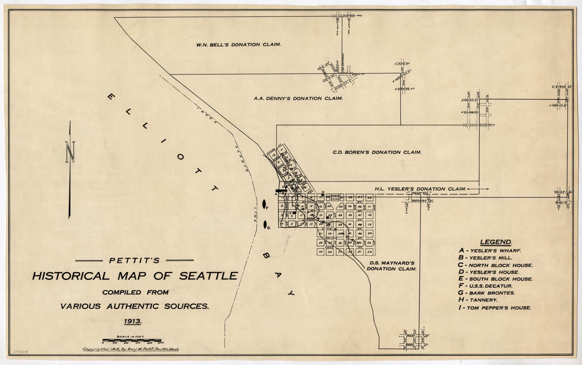
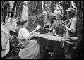
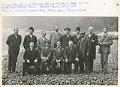
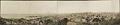
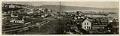
This historical map was compiled by Benjamin W. Pettit (1867-1944), a banker who arrived in Seattle from Illinois in 1889 and continued in banking until his retirement from First National Bank in 1941. An amateur photographer and historian, Pettit collected slides and gave presentations on the changes he saw in Seattle since his arrival.
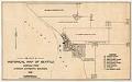
This map documents sites and land claims from what is now Denny Street on the North to Grand Street on the South. The map includes sites such as Tom Pepper's house, Yesler's wharf and mill, block houses, and the U.S.S. Decatur.
Caption information source: The Seattle Times, "Women to Hear Talk of Old Days," October 22, 1929, p. 38; and "Obituary Benjamin W. Pettit," March 18, 1944, p.4.
ID Number: 1980.6923.8
Date: 1913
Physical Description: 1 map : b&w ; 16.5 x 10.25 in.
Additional Information: Digital copy of this item available thanks to funding from a 2016 Institute for Museum and Library Services grant. Metadata updated as part of a grant from the Institute of Museum and Library Services administered by the Library Services and Technology Act, through the Washington State Library, a division of the Office of the Secretary of State.
Credit: MOHAI, Benjamin Pettit Collection, 1980.6923.8