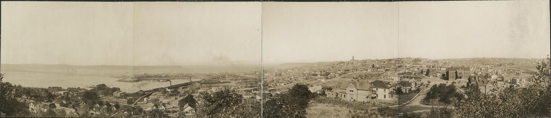
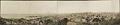
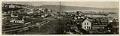
Much of downtown Seattle was built on land reclaimed from Elliott Bay and the mouth of the Duwamish River. This four-part panoramic image faces northwest from Beacon Hill and shows the area south of downtown before the Jackson Street regrade (1907-1909) cut through the hill for better access to the Rainier Valley.
The King County Courthouse, with its tall cupola, can be seen in the center right distance on First Hill, where Harborview Medical Center is located today. To the left, railroad tracks run along the waterfront of Elliott Bay. In the distant left, train and streetcar trestles stretch over the tide flats to West Seattle. These tidelands will all be filled in with dirt from the regrade. South School, the large brick building in the right foreground, was located at 12th Avenue South and Weller Street. Holy Names Academy, with its steeple, can be seen above and to the left of the gabled house in the foreground. Both buildings will be demolished to make way for the regrade.
Handwritten on images: C.& R. 667, C.& R. 668, C.& R. 669, C.& R. 670.
Physical Description: 1 photographic print : b&w ; 34.5 x 7.5 in.
Additional Information: Digital copy of this item available thanks to funding from a 2016 Institute for Museum and Library Services grant. Metadata updated as part of a grant from the Institute of Museum and Library Services administered by the Library Services and Technology Act, through the Washington State Library, a division of the Office of the Secretary of State.
Credit: MOHAI, Benjamin Pettit Photograph Collection, 1980.6923.10, photo by Curtis & Romans