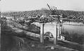
Seattle's first street railway line was built in 1888 and over the next three decades at least six different cable car companies operated throughout the city. In 1919 the City of Seattle took over all of the city's transit lines and formed the Seattle Municipal Street Railway (today's METRO). Because of its steep hills, Seattle kept its cable car lines longer than any American city except San Francisco, not replacing them until 1940 when buses that could handle the grades became available. One of the pedestrian waiting shelters for the Yesler Way line, known as the Iron Pergola, still stands in Pioneer Square and is a National Historic Landmark.
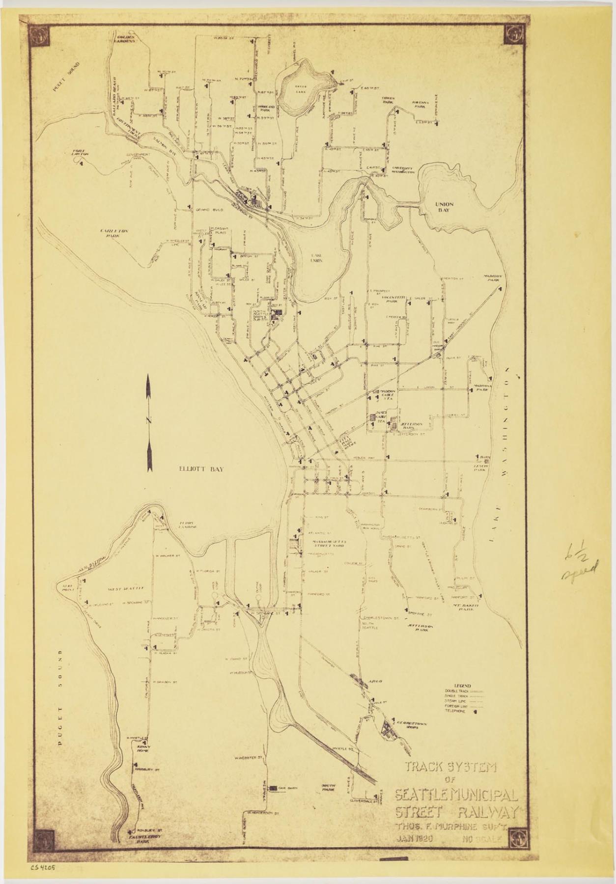
This map encompasses the entire Seattle Municipal Street Railway system, shortly after its consolidation. The routes run north to W 85th Street (now NW 85th Street) in Ballard, south to Fauntleroy Park in West Seattle, west to 65th Avenue SW in West Seattle, and east to Madison Park on the shores of Lake Washington. The map was produced in the office of Thomas Floyd Murphine (1978-1943), superintendent of the Seattle Street Railway, who was also a prominent attorney.
Caption information source: METRO: Seattle's Cable-Car Past, History of the Yesler Line at http://www.cable-car-guy.com/html/ccsea.html#scry Caption information source: "Street Railways in Seattle," by Walt Crowley, HistoryLink.org Essay 2707.
ID Number: 1977.6521.4
Date: 1920
Physical Description: 1 map : blueprint ; 12 x 17 in.
Additional Information: Digital copy of this item available thanks to funding from a 2016 Institute for Museum and Library Services grant.