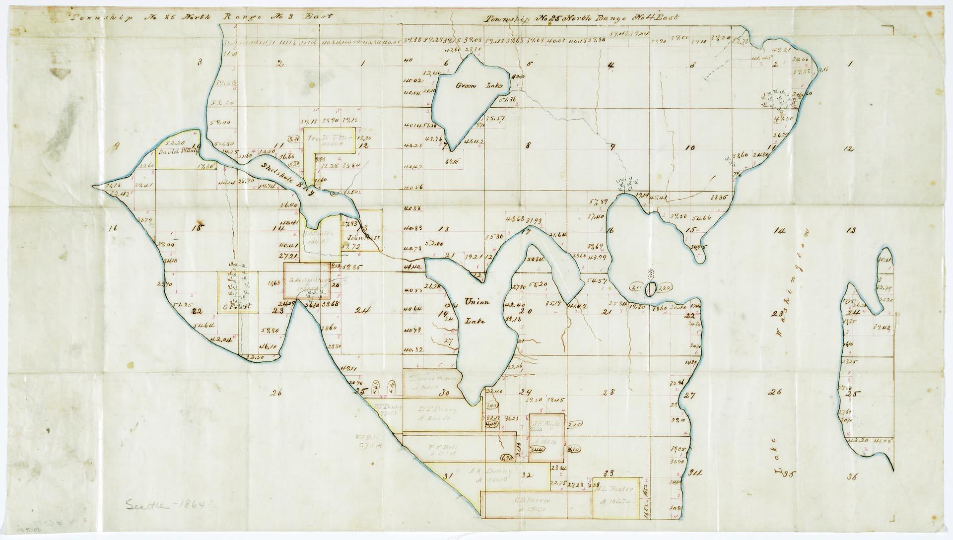
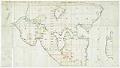
This hand drawn map shows early land ownership for King County Township No 25 North Range No. 4 East and Range No. 3 East, providing names and property boundaries of original purchasers and claimants. These boundaries encompass what is now known as the First Hill neighborhood at the Southernmost point, up to North 85th, just above the present-day Green Lake neighborhood . On the West side of the map, it includes what is now known as the Magnolia neighborhood, all the way East to the Sandy Point neighborhood bordering Lake Washington.
Handwritten on map: Seattle - 1864
ID Number: 1976.6389A.2
Date: 1864
Physical Description: 1 map : color ; 22.5 x 12.75 in.
Additional Information: Digital copy of this item available thanks to funding from a 2016 Institute for Museum and Library Services grant.