Back to Results
1976.6389A.1
View full size image or right-click on image to save
Cartographic material
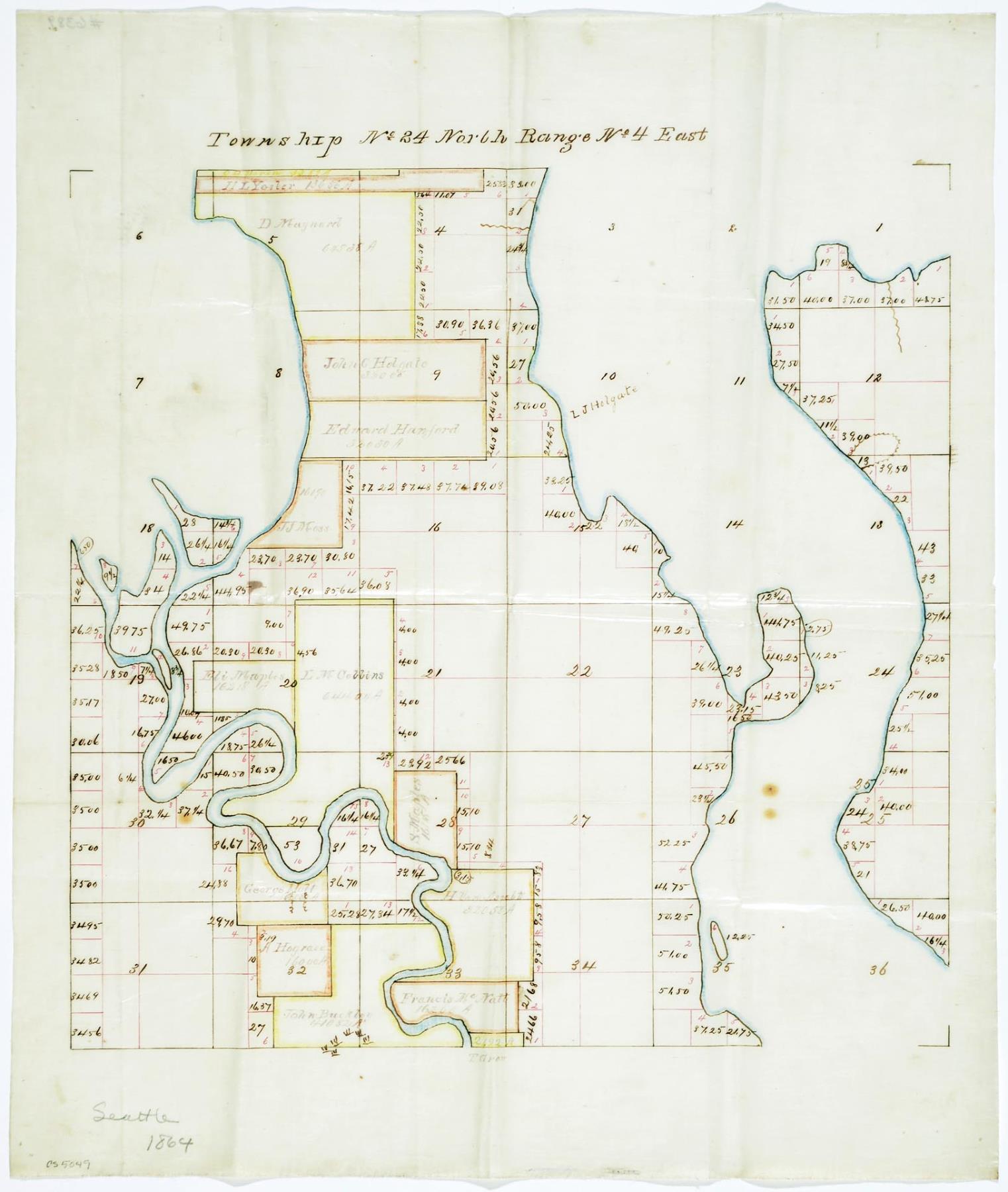
Township No 24 North Range No 4 East, 1864
Order an ImageThis hand drawn map shows early land ownership for King County Township No 24 North Range No. 4 East, providing names and property boundaries of original purchasers and claimants. These boundaries encompass what is now known as Rainier Beach neighborhood at the Southernmost point, up to the Yesler Terrace neighborhood at the North. It also includes the original of the Duwamish River on the West side of the map before it was straightened and dredged for commercial purposes.
Handwritten on map: Seattle, 1864
Handwritten on map: Seattle, 1864
ID Number: 1976.6389A.1
Date: 1864
Physical Description: 1 map : color ; 13.25 x 15.5 in.
Additional Information: Digital copy of this item available thanks to funding from a 2016 Institute for Museum and Library Services grant.
Credit: MOHAI, 1976.6389A.1
Copyright: No Known Copyright
Other matching results
Whitman statue, Alaska-Yukon-Pacific Exposition, Seattle, 1909
Township No 25 North Range No 3 East and Township No 25 North Range No 4 East, 1864

Portrait of John and Carrie Denny, Portland, circa 1887
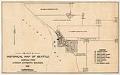
Pettit's Historical Map of Seattle, 1913
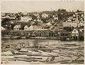
Columbia St. from Yesler's wharf, Seattle, circa 1875
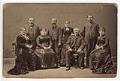
Gatzert and Schwabacher families, Seattle, circa 1882
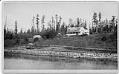
Bailey Gatzert's summer home, Seattle, circa 1892

Four members of the Daughters of the Pioneers of Washington, Seattle, April 21, 1920