Back to Results
1969.4750.1
View full size image or right-click on image to save
Cartographic material
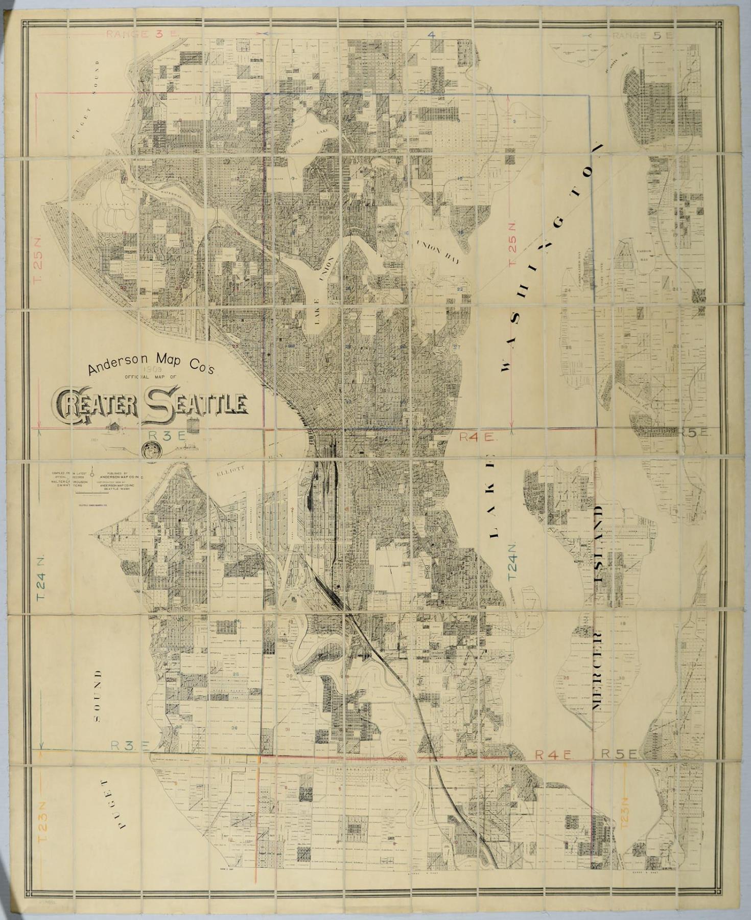
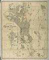
Anderson Map Co.'s Official Map of Greater Seattle, 1909
Order an ImageSeattle entrepreneur and amateur photographer O.P. (Oliver Phelps) Anderson (1859-1941) was the son of Alexander Jay Anderson (1832-1903), president of the Washington Territorial University (now University of Washington) from 1877-1882. O.P. trained as a draughtsman and by 1890 had started a civil engineering and map publishing business, O. P. Anderson & Company (later O. P. Anderson Map & Blue Print Company). In 1911, Carl Kroll acquired the Anderson Map Company and the Washington Map and Blueprint Company to become the Kroll Map Company, which is still in operation as of 2019.
This oversized map of "Greater Seattle" shows plat-level land ownership, land features, and transportation routes, extending to Juanita Bay and the mouth of the Black River on Lake Washington to the east. A hand-drawn grid is traced over the top the printed map, which has been divided into sections and mounted on cotton backing.
Written on map: Anderson Map Co's 1909 Official Map of Greater Seattle, Compiled From Latest Official Records by Walter G. Firguson and D. M. Watters, Published by Anderson Map Co. Inc, Copyrighted 1909 by Anderson Map Co. Inc., Seattle, Wash.
Stamped: Seattle Engineering Co.
This oversized map of "Greater Seattle" shows plat-level land ownership, land features, and transportation routes, extending to Juanita Bay and the mouth of the Black River on Lake Washington to the east. A hand-drawn grid is traced over the top the printed map, which has been divided into sections and mounted on cotton backing.
Written on map: Anderson Map Co's 1909 Official Map of Greater Seattle, Compiled From Latest Official Records by Walter G. Firguson and D. M. Watters, Published by Anderson Map Co. Inc, Copyrighted 1909 by Anderson Map Co. Inc., Seattle, Wash.
Stamped: Seattle Engineering Co.
ID Number: 1969.4750.1
Date: 1909
Creator(s):
Anderson Map Co., Creator
Physical Description: 1 map : colorized ; 45.5 x 55 in.
Additional Information: Digital copy of this item available thanks to funding from a 2016 Institute for Museum and Library Services grant.
Credit: MOHAI, 1969.4750.1
Copyright: No Known Copyright
Other matching results
Anderson's 1896 Street and Guide Map of the City of Seattle
Map of the City of Seattle, King County, Washington Territory, 1887
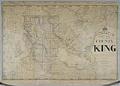
Anderson's New Map of the County of King, State of Washington, 1894
Anderson Map Co.'s Official Map of Greater Seattle, 1909
Anderson Supply Co. photo catalog, circa 1910
Bell's 3rd, 4th, and 5th Addition to the City of Seattle, circa 1890
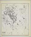
Anderson's New Guide Map of the City of Seattle & Environs, July 1890
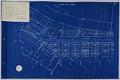
Seattle Tide Lands, Volume Two, page 28, March 15, 1895
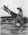
Indigenous woman and canoe at the Seattle waterfront, 1898