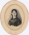
Seattle in the 1880s was a rapidly growing city, aided in no small part by the 1883 connection with the Northern Pacific Railway Company. Lumber and coal were the primary industries, but the growth of fishing, wholesale trade, shipbuilding, and shipping also contributed to the town's economic expansion and population growth. The Seattle City Census of 1888 records population at 19,116, and although 1889's Great Fire leveled 116 acres in the heart of the city's business district, by 1890 the city's population actually grew to 40,000 inhabitants from the influx of people helping to recreate the city.
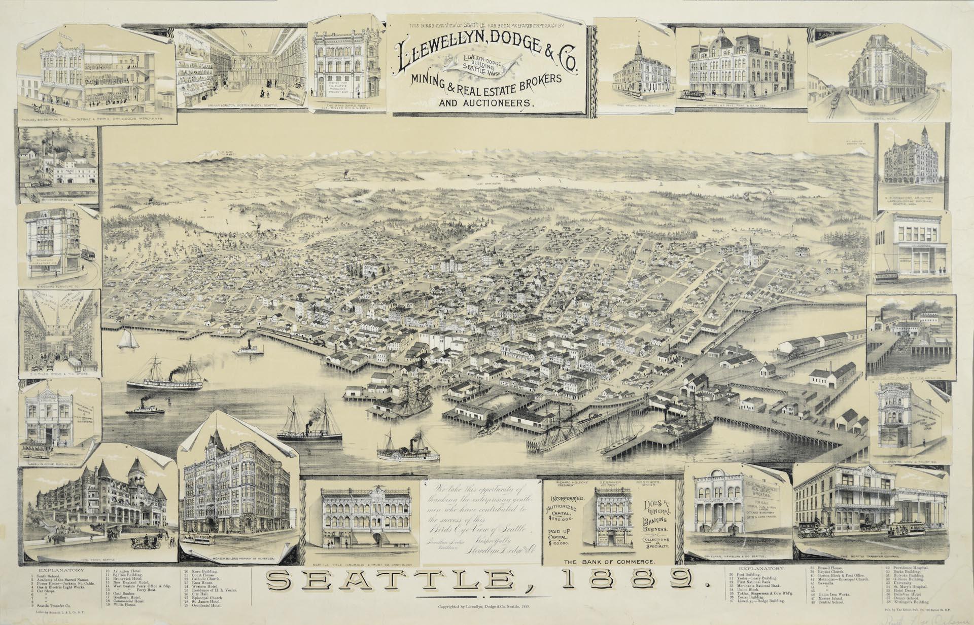
This drawing of Seattle presents a bird's-eye view of the city before the June 6, 1889, fire, facing northeast from Elliott Bay towards the Cascade Mountain Range. The map, entitled "Bird's Eye Map of Seattle 1889," was created and copyrighted in 1889 by Llewellyn, Dodge & Company, a mining and real estate brokerage, to promote Seattle as a vital, growing young city.
Businesses advertised in map frame: Toklas, Singerman & Co.; Graham & Daulton; The Stag Sample Room; First National Bank; Frye Opera House; Occidental Hotel; W. R. Crawford, Architect; J. H. Loughead's Bodega; Seattle Dry Dock & Ship Building Co.; Guarantee Loan & Trust Co.; The Seattle Transfer Company; Eshelman, Llewellyn & Co.; The Bank of Commerce; Seattle Title Insurance & Trust Co.; Pioneer Building; Hotel Denny; Llewellyn-Dodge Building; Z. G. Miles Stove & Tin Store; Standard Furniture Co.; Bay View Brewing Co.