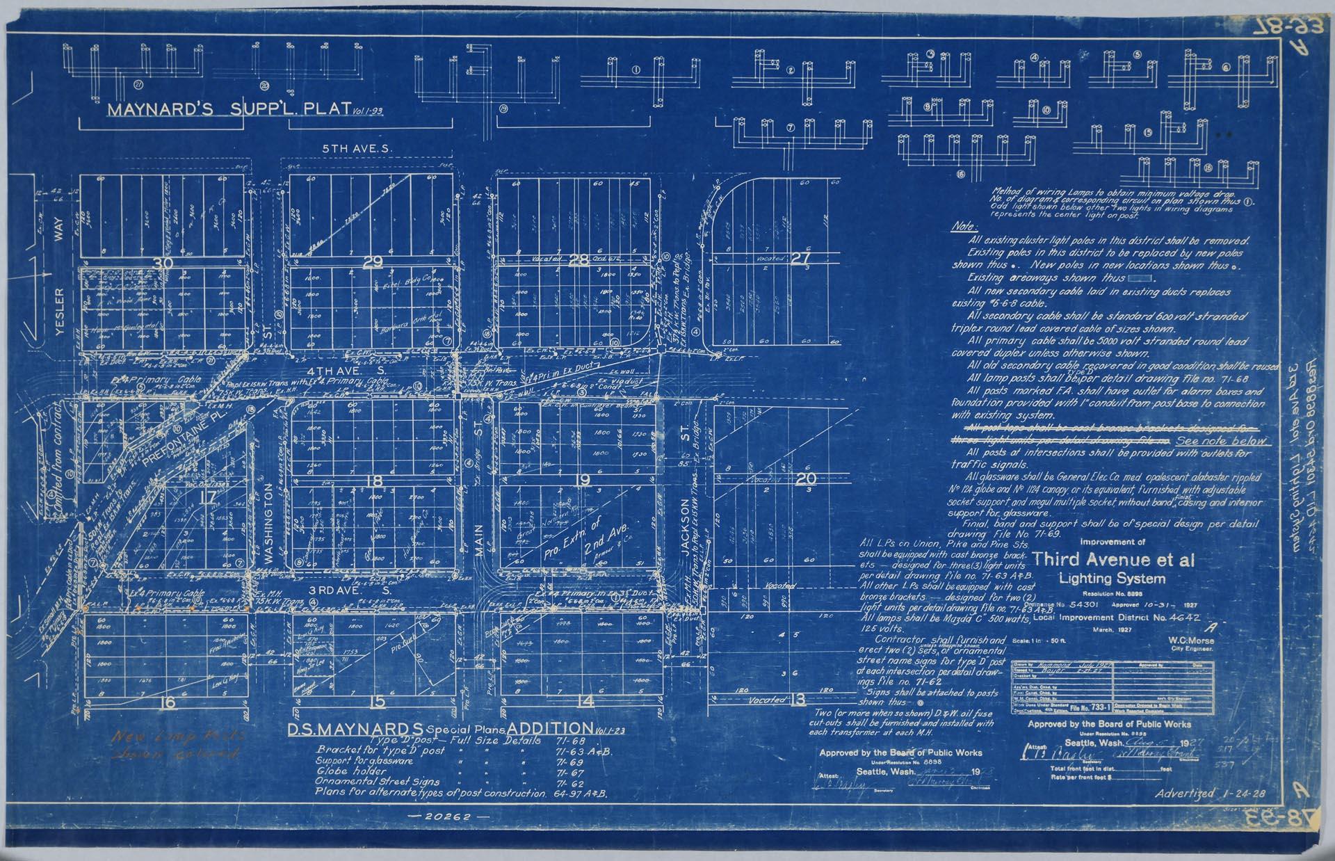
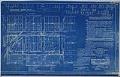
The 1927 map pictured here was created by the Seattle City Engineer's office. It shows a roughly 12-block area of downtown Seattle between Yesler Way and Jackson Street, and Third Avenue and Fifth Avenue, on land platted as D. S. Maynard's Addition to the City of Seattle. The map shows the locations where new posts and street lamps were to be placed, and includes a diagram of the preferred method of wiring street lights "to obtain minimum voltage drop."
Handwritten on verso: Maynard's Supp. Plat, Third ave, lighting system, 1927
Physical Description: 1 technical drawing : blueprint ; 38.75 x 24.75 in.
Additional Information: Digital copy of this item available thanks to funding from a 2016 Institute for Museum and Library Services grant. Metadata updated as part of a grant from the Institute of Museum and Library Services administered by the Library Services and Technology Act, through the Washington State Library, a division of the Office of the Secretary of State.
Credit: MOHAI, Sophie Frye Bass Collection of Northwest Americana, 1952.986.57.6